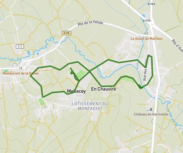
This walking route covers 1.58mi starting from Bligny-lès-Beaune, Côte-d’Or. The walk is a loop trail and returns to the trailhead. This walk is rated as easy, plan for about 43m to complete it. The route has an elevation gain of 108ft and an elevation loss of 108ft.
Balade chiens
Route details
27:12/mi
Pace
176 kcal
Calories burned
Loop trail
Route type
689ft
Min altitude
719ft
Max altitude
Route profile
108ft
Elevation gain
108ft
Elevation loss
689ft
Min altitude
719ft
Max altitude
How to get there
Trailhead: 18 Rue De L'église, 21200 Bligny-lès-Beaune, France
GPS coordinates of the trailhead: 46.98513, 4.82772 / 46°59'6'' N, 4°49'39'' E