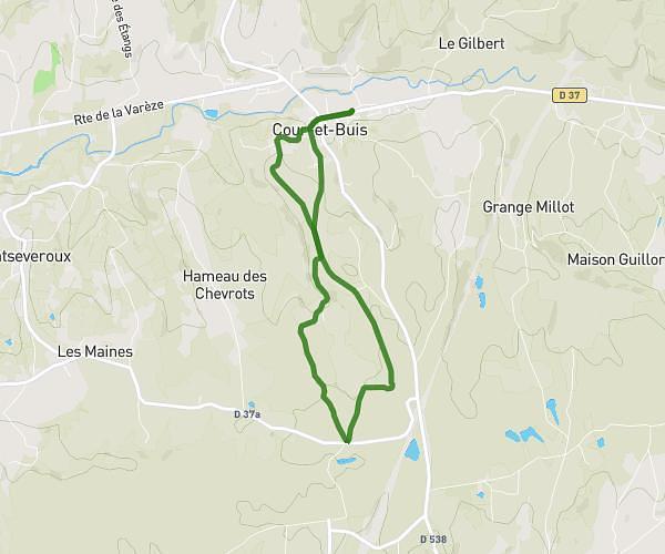
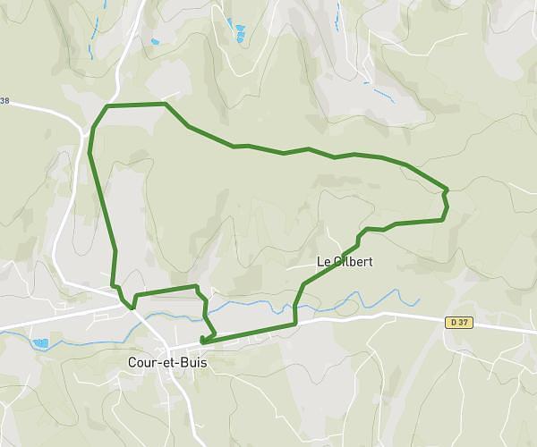
This running route covers 6.153mi starting from Saint-Priest, Rhône. The run is a loop trail and returns to the trailhead. This run is rated as moderate, expect about 1h6m to complete it. The route has an elevation gain of 479ft and an elevation loss of 495ft.
Grand tour Fort
Route details
5.59mph
Speed
755 kcal
Calories burned
Loop trail
Route type
705ft
Min altitude
833ft
Max altitude
Route profile
479ft
Elevation gain
495ft
Elevation loss
705ft
Min altitude
833ft
Max altitude
How to get there
Trailhead: Rue Claude Farrère, 69800 Saint-Priest
GPS coordinates of the trailhead: 45.68816, 4.94704 / 45°41'17'' N, 4°56'49'' E