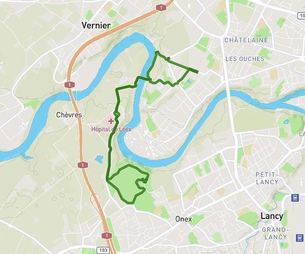
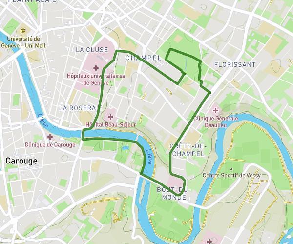
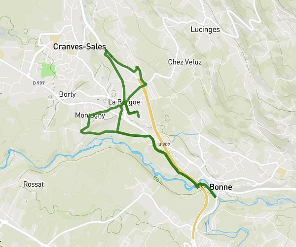
This running route covers 6.779mi starting from Lélex, Ain. The run does not return to the trailhead and ends near 01410 Lélex. This run is rated as moderate, expect about 2h43m to complete it. The route has an elevation gain of 1444ft and an elevation loss of 1322ft.
JOUR2
Route details
2.49mph
Speed
1871 kcal
Calories burned
Point to point
Route type
4692ft
Min altitude
5604ft
Max altitude
Route profile
1444ft
Elevation gain
1322ft
Elevation loss
4692ft
Min altitude
5604ft
Max altitude
How to get there
Trailhead: Les Anémones, 01410 Lélex
GPS coordinates of the trailhead: 46.29287, 5.9549 / 46°17'34'' N, 5°57'17'' E