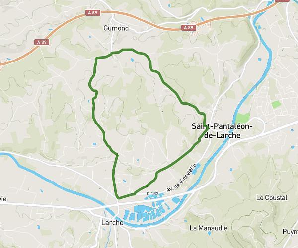
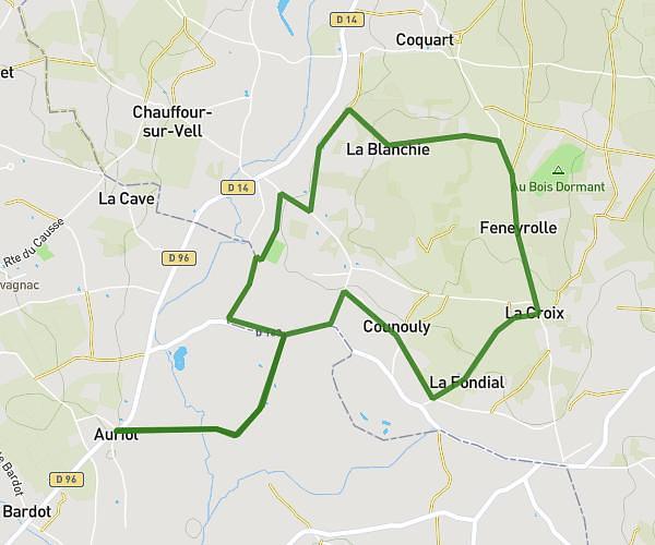
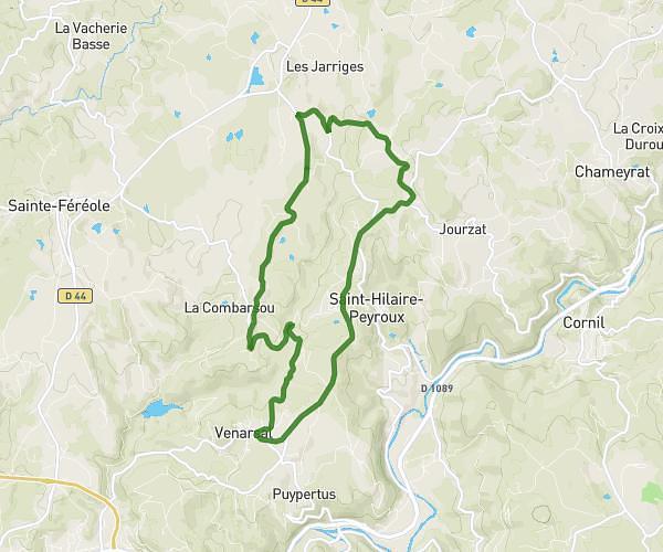
This running route covers 18.544mi starting from Lissac-sur-Couze, Corrèze. The run does not return to the trailhead and ends near Route De Saillac, 19500 Collonges-la-Rouge, France. This run is rated as strenuous, expect about 3h43m to complete it. The route has an elevation gain of 531ft and an elevation loss of 322ft.
Première tranche
Route details
4.97mph
Speed
2559 kcal
Calories burned
Point to point
Route type
512ft
Min altitude
1043ft
Max altitude
Route profile
531ft
Elevation gain
322ft
Elevation loss
512ft
Min altitude
1043ft
Max altitude
How to get there
Trailhead: 284 Chemin Des Plages, 19600 Lissac-sur-Couze, France
GPS coordinates of the trailhead: 45.09432, 1.46574 / 45°5'39'' N, 1°27'56'' E