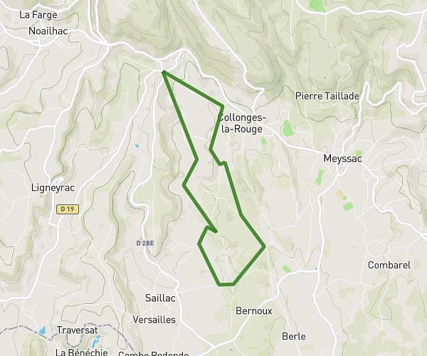
Explore this running route of 7,987mi starting from Collonges-la-Rouge, Corrèze. The run does not return to the starting point and ends near 8 Route Des Crêtes, 19500 Lagleygeolle, France. This run has no defined difficulty level, expect about 1h36m to complete it.
Tranche 2
Route details
How to get there
Route starting point: 450 Route De Puy Boubou, 19500 Collonges-la-Rouge, France
GPS coordinates of the starting point: 45.06711, 1.64074 / 45°4'1'' N, 1°38'26'' E


