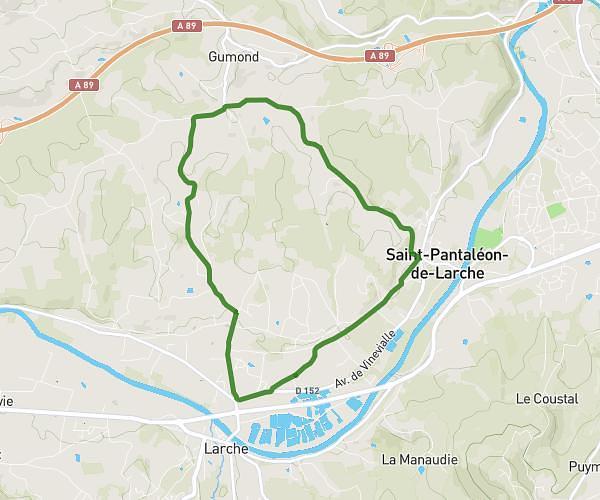
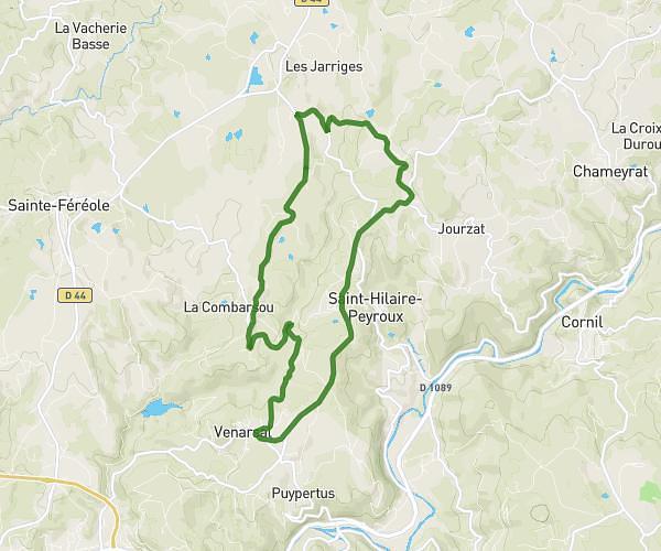
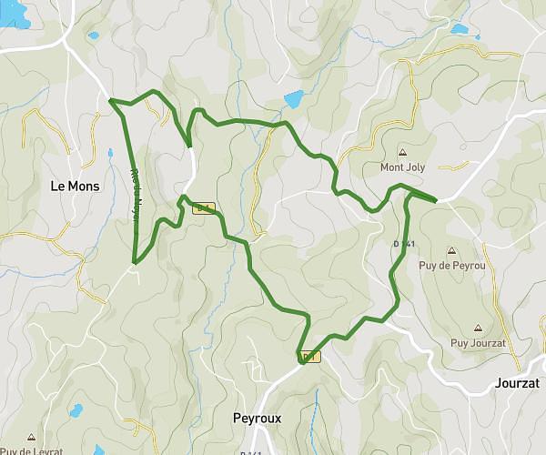
This running route covers 6.657mi starting from Sadroc, Corrèze. The run is a loop trail and returns to the trailhead. This run is rated as moderate, expect about 1h11m to complete it. The route has an elevation gain of 157ft and an elevation loss of 95ft.
Saint bonnet
Route details
5.62mph
Speed
812 kcal
Calories burned
Loop trail
Route type
1102ft
Min altitude
1230ft
Max altitude
Route profile
157ft
Elevation gain
95ft
Elevation loss
1102ft
Min altitude
1230ft
Max altitude
How to get there
Trailhead: 5 Route De L'étang, 19270 Sadroc, France
GPS coordinates of the trailhead: 45.28555, 1.54796 / 45°17'7'' N, 1°32'52'' E