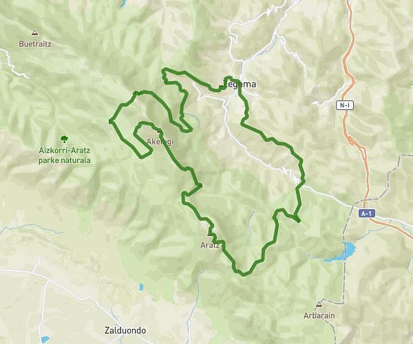
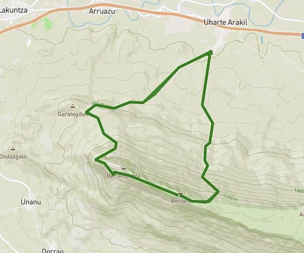
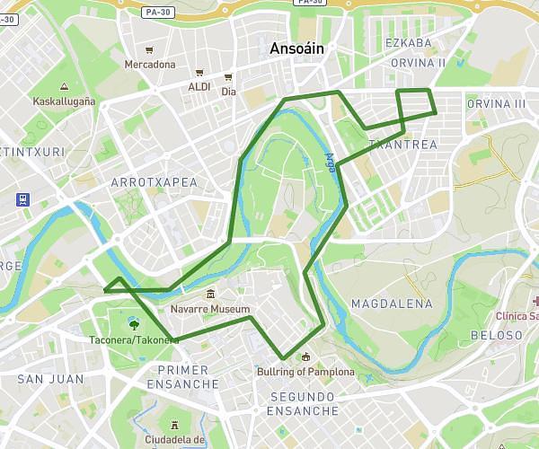
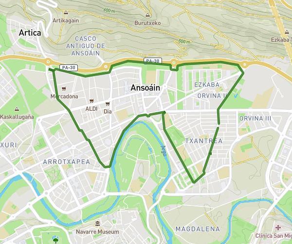
This running route covers 16.619mi starting from Uharte Arakil, Navarre. The run is a loop trail and returns to the trailhead. This run is rated as strenuous, expect about 5h to complete it. The route has an elevation gain of 7182ft and an elevation loss of 7172ft.
Grieta ihurbaiun + k(des)v + san miguel de aralar
Route details
3.32mph
Speed
3430 kcal
Calories burned
Loop trail
Route type
1499ft
Min altitude
4823ft
Max altitude
Route profile
7182ft
Elevation gain
7172ft
Elevation loss
1499ft
Min altitude
4823ft
Max altitude
How to get there
Trailhead: Errekabitarte Kalea 10, 31840 Uharte Arakil, Navarre, Spain
GPS coordinates of the trailhead: 42.918341, -1.969281 / 42°55'6'' N, 1°58'9'' W