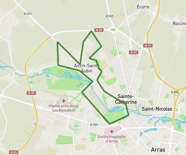
This running route covers 3.191mi starting from Allennes-les-Marais, Nord. The run is a loop trail and returns to the trailhead. This run is rated as easy, expect about 34m to complete it. The route has an elevation gain of 16ft and an elevation loss of 20ft.
test 5k
Route details
5.63mph
Speed
389 kcal
Calories burned
Loop trail
Route type
62ft
Min altitude
79ft
Max altitude
Route profile
16ft
Elevation gain
20ft
Elevation loss
62ft
Min altitude
79ft
Max altitude
How to get there
Trailhead: 5 Allée Du Stade, 59251 Allennes-les-Marais, France
GPS coordinates of the trailhead: 50.5367, 2.94864 / 50°32'12'' N, 2°56'55'' E