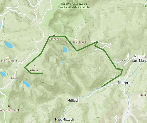
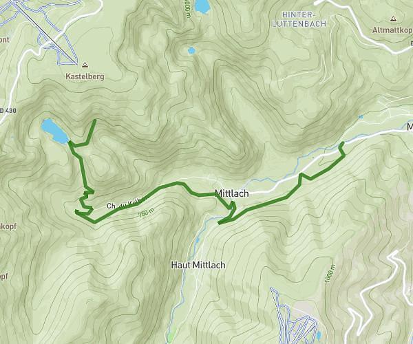
This hiking trail covers 7.762mi starting from Sainte-Marie-aux-Mines, Haut-Rhin. The hike is a loop trail and returns to the trailhead. This hike is rated as strenuous, plan for about 2h6m to complete it. The route has an elevation gain of 2178ft and an elevation loss of 2182ft.
Rauenthal 1
Route details
3.7mph
Speed
960 kcal
Calories burned
10.6%
Avg grade
Loop trail
Route type
1667ft
Min altitude
3622ft
Max altitude
Steep climb
Route profile
2178ft
Elevation gain
2182ft
Elevation loss
1667ft
Min altitude
3622ft
Max altitude
How to get there
Trailhead: 12 Chemin Du Rauenthal, 68160 Sainte-Marie-aux-Mines, France
GPS coordinates of the trailhead: 48.221272, 7.164377 / 48°13'16'' N, 7°9'51'' E