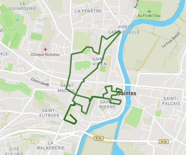
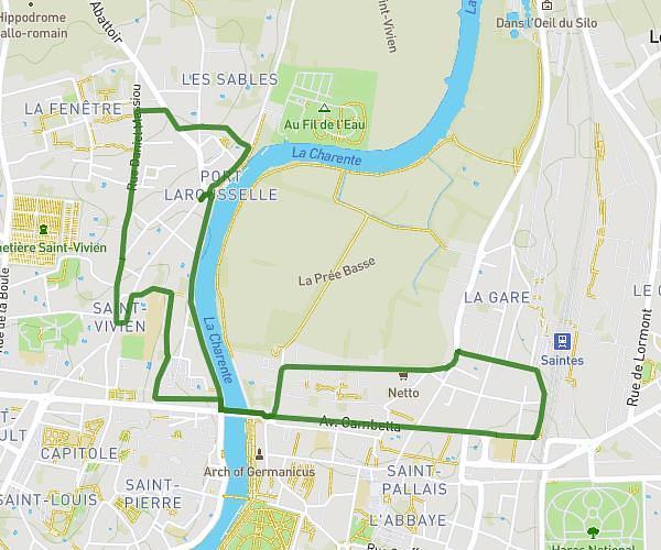
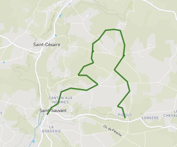
This running route covers 4.203mi starting from Saint-Sauvant, Charente-Maritime. The run does not return to the trailhead and ends near 6 Chemin Des Puits Doux, 17610 Saint-Sauvant, France. This run is rated as easy, expect about 45m to complete it. The route has an elevation gain of 148ft and an elevation loss of 13ft.
Test
Route details
5.6mph
Speed
515 kcal
Calories burned
Point to point
Route type
102ft
Min altitude
249ft
Max altitude
Route profile
148ft
Elevation gain
13ft
Elevation loss
102ft
Min altitude
249ft
Max altitude
How to get there
Trailhead: 10 Rue De Chevessac, 17610 Saint-Sauvant, France
GPS coordinates of the trailhead: 45.738142, -0.505915 / 45°44'17'' N, 0°30'21'' W