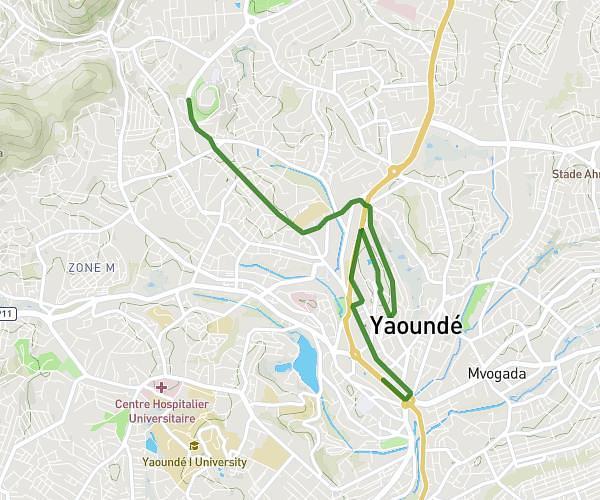
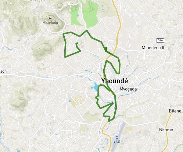
This running route covers 4.872mi starting from Centre, Cameroon, Centre. The run does not return to the trailhead and ends near Yaounde, Centre, Cameroon. This run is rated as easy, expect about 52m16s to complete it. The route has an elevation gain of 502ft and an elevation loss of 715ft.
Marche sportive
Route details
5.59mph
Speed
598 kcal
Calories burned
Point to point
Route type
2329ft
Min altitude
2566ft
Max altitude
Route profile
502ft
Elevation gain
715ft
Elevation loss
2329ft
Min altitude
2566ft
Max altitude
How to get there
Trailhead: Centre, Cameroon
GPS coordinates of the trailhead: 3.891222, 11.498878 / 3°53'28'' N, 11°29'55'' E