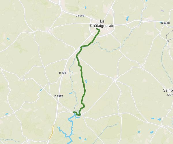
This cycling route covers 14.93mi starting from Fontenay-le-Comte, Vendée. The ride does not return to the trailhead and ends near Rue Nationale, 85770 L'Île-d'Elle. This route is rated as moderate, plan for about 2h to complete it. The route has an elevation gain of 213ft and an elevation loss of 226ft.
Ile d'elle
Route details
1054 kcal
Calories burned
0.6%
Avg grade
Point to point
Route type
0ft
Min altitude
75ft
Max altitude
Route profile
213ft
Elevation gain
226ft
Elevation loss
0ft
Min altitude
75ft
Max altitude
How to get there
Trailhead: Rue De Biossais, 85200 Fontenay-le-Comte
GPS coordinates of the trailhead: 46.45821, -0.8053 / 46°27'29'' N, 0°48'19'' W