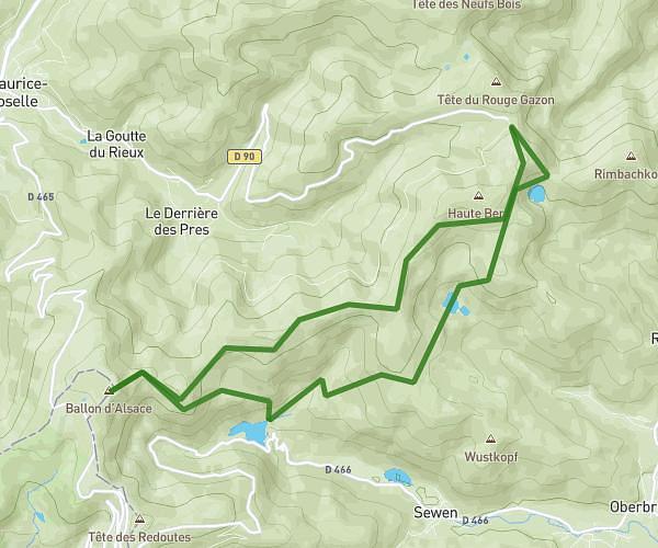
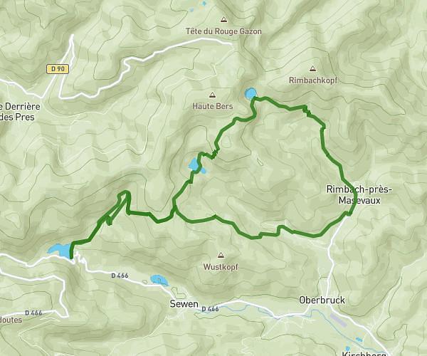
This hiking trail covers 7.771mi starting from Bourbach-le-Haut, Haut-Rhin. The hike is a loop trail and returns to the trailhead. This hike is rated as strenuous, plan for about 2h31m to complete it. The route has an elevation gain of 3064ft and an elevation loss of 3068ft.
Boucle Col du Hundsruck - Fuchsfelsen
Route details
3.09mph
Speed
1189 kcal
Calories burned
14.9%
Avg grade
Loop trail
Route type
2444ft
Min altitude
3885ft
Max altitude
Steep climb
Route profile
3064ft
Elevation gain
3068ft
Elevation loss
2444ft
Min altitude
3885ft
Max altitude
How to get there
Trailhead: D 14biv, 68290 Bourbach-le-Haut, France
GPS coordinates of the trailhead: 47.806495, 7.042644 / 47°48'23'' N, 7°2'33'' E