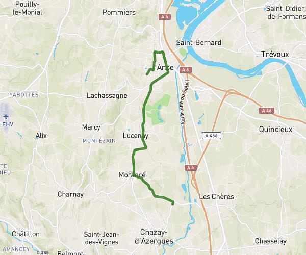
This running route covers 4.507mi starting from Neyron, Ain. The run is a loop trail and returns to the trailhead. This run is rated as easy, expect about 54m24s to complete it. The route has an elevation gain of 259ft and an elevation loss of 259ft.
Miribel Jonage 7,2 kms
Route details
4.97mph
Speed
622 kcal
Calories burned
Loop trail
Route type
558ft
Min altitude
587ft
Max altitude
Route profile
259ft
Elevation gain
259ft
Elevation loss
558ft
Min altitude
587ft
Max altitude
How to get there
Trailhead: Chemin Du Belvédère, 01700 Neyron, France
GPS coordinates of the trailhead: 45.80842, 4.93764 / 45°48'30'' N, 4°56'15'' E