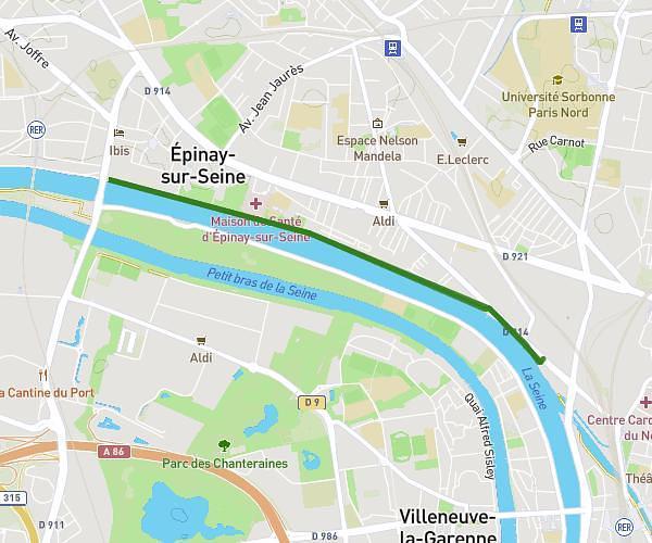
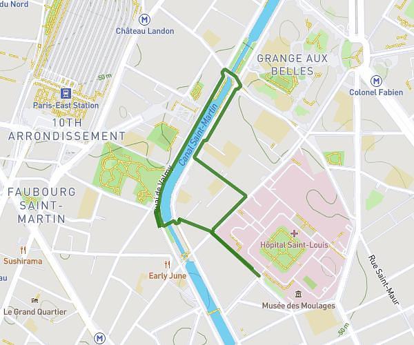
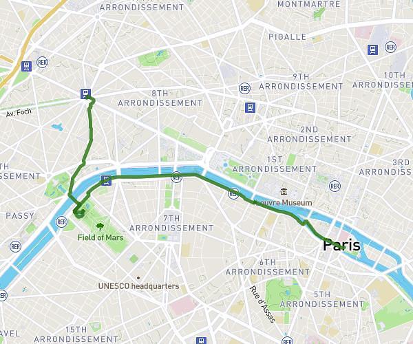
This walking route covers 3.92mi starting from Paris, Paris. The walk does not return to the trailhead and ends near Rue De Rivoli, 75001 Paris. This walk is rated as moderate, plan for about 2h6m to complete it. The route has an elevation gain of 144ft and an elevation loss of 167ft.
sam suger orsay G laf Vendome M tuilerie
Route details
32:11/mi
Pace
515 kcal
Calories burned
Point to point
Route type
95ft
Min altitude
171ft
Max altitude
Route profile
144ft
Elevation gain
167ft
Elevation loss
95ft
Min altitude
171ft
Max altitude
How to get there
Trailhead: Rue Suger, 75006 Paris
GPS coordinates of the trailhead: 48.85301, 2.34252 / 48°51'10'' N, 2°20'33'' E