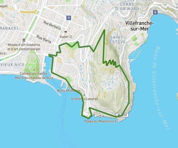
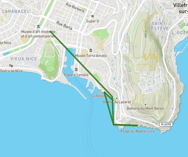
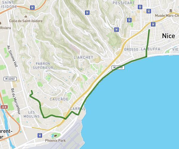
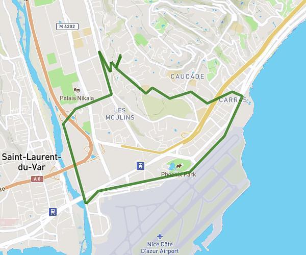
This running route covers 12.553mi starting from Le Cannet, Alpes-Maritimes. The run does not return to the trailhead and ends near 2 Rue De La Verrerie, 06150 Cannes, France. This run is rated as strenuous, expect about 2h15m to complete it. The route has an elevation gain of 758ft and an elevation loss of 974ft.
Entraînement mardi 14 octobre
Route details
5.58mph
Speed
1544 kcal
Calories burned
Point to point
Route type
3ft
Min altitude
453ft
Max altitude
Route profile
758ft
Elevation gain
974ft
Elevation loss
3ft
Min altitude
453ft
Max altitude
How to get there
Trailhead: 860 Avenue Georges Pompidou, 06110 Le Cannet, France
GPS coordinates of the trailhead: 43.569254, 6.983708 / 43°34'9'' N, 6°59'1'' E