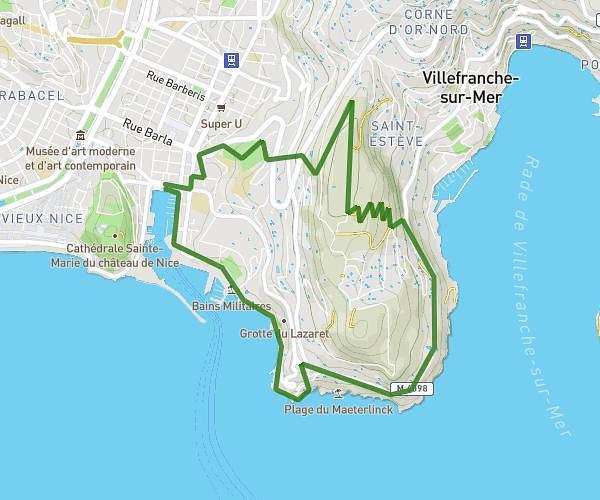
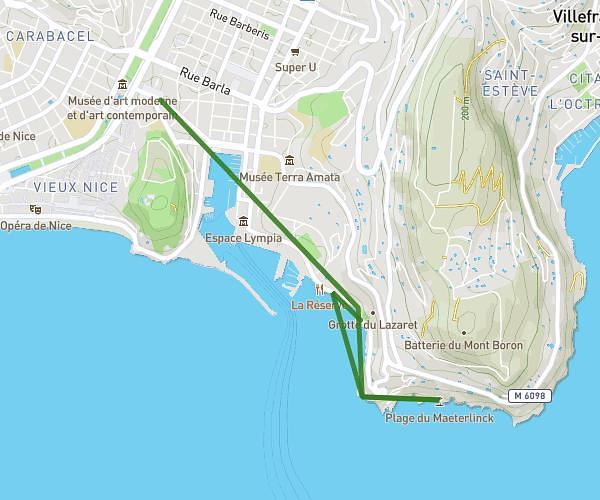
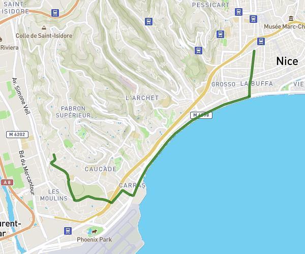
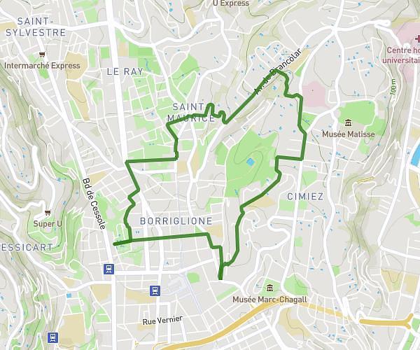
This running route covers 6.049mi starting from Nice, Alpes-Maritimes. The run is a loop trail and returns to the trailhead. This run is rated as moderate, expect about 52m to complete it. The route has an elevation gain of 125ft and an elevation loss of 240ft.
aeroport
Route details
6.98mph
Speed
595 kcal
Calories burned
Loop trail
Route type
23ft
Min altitude
262ft
Max altitude
Route profile
125ft
Elevation gain
240ft
Elevation loss
23ft
Min altitude
262ft
Max altitude
How to get there
Trailhead: 19 Avenue Louis Cappatti, 06200 Nice, France
GPS coordinates of the trailhead: 43.683122, 7.206935 / 43°40'59'' N, 7°12'24'' E