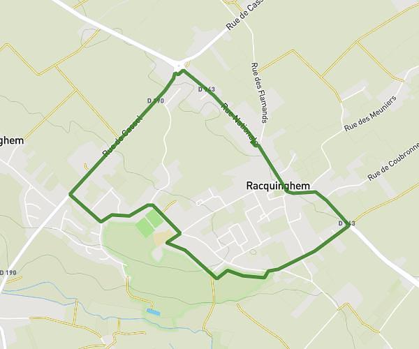
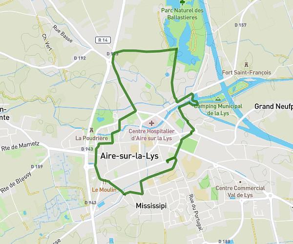
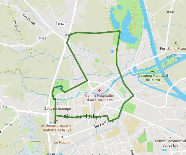
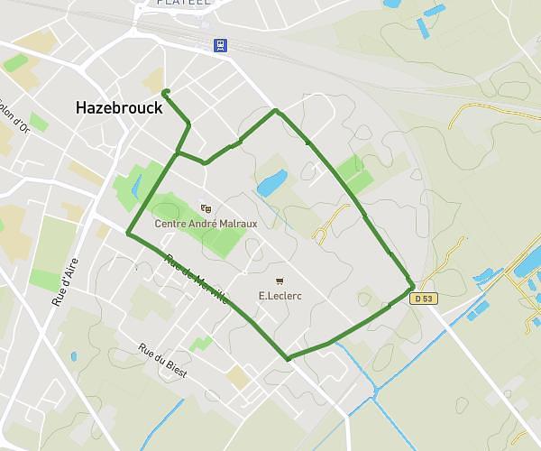
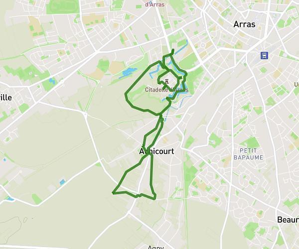
This walking route covers 4.844mi starting from Blessy, Pas-de-Calais. The walk does not return to the trailhead and ends near Rue Des Prés, 62120 Blessy. This walk is rated as moderate, plan for about 1h44m to complete it. The route has an elevation gain of 125ft and an elevation loss of 128ft.
petit parcours 7 km
Route details
21:27/mi
Pace
425 kcal
Calories burned
Point to point
Route type
72ft
Min altitude
112ft
Max altitude
Route profile
125ft
Elevation gain
128ft
Elevation loss
72ft
Min altitude
112ft
Max altitude
How to get there
Trailhead: Rue D'aire, 62120 Blessy
GPS coordinates of the trailhead: 50.62158, 2.34786 / 50°37'17'' N, 2°20'52'' E