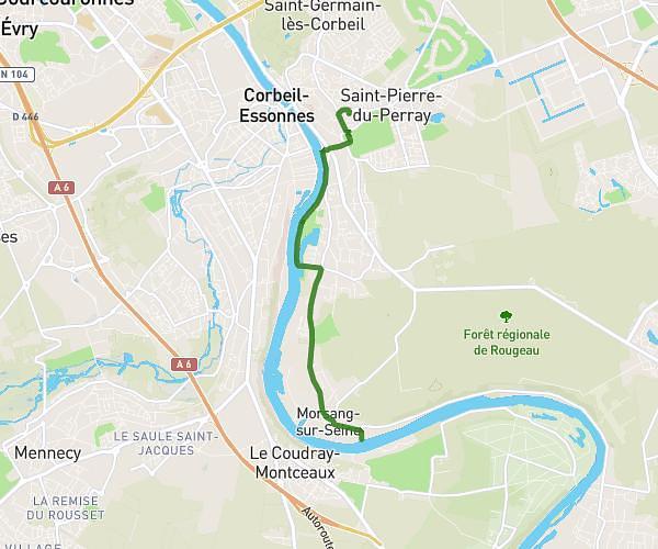
This running route covers 3.156mi starting from Le Châtelet-en-Brie, Seine-et-Marne. The run is a loop trail and returns to the trailhead. This run is rated as easy, expect about 35m2s to complete it. The route has an elevation gain of 141ft and an elevation loss of 141ft.
le chatelet en brie
Route details
5.41mph
Speed
401 kcal
Calories burned
Loop trail
Route type
279ft
Min altitude
331ft
Max altitude
Route profile
141ft
Elevation gain
141ft
Elevation loss
279ft
Min altitude
331ft
Max altitude
How to get there
Trailhead: Rue Du 19 Mars 1962, 77820 Le Châtelet-en-Brie
GPS coordinates of the trailhead: 48.50454, 2.78729 / 48°30'16'' N, 2°47'14'' E