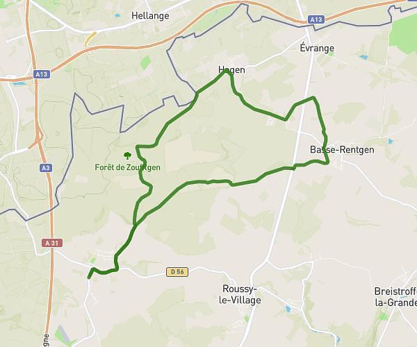
This walking route covers 8.845mi starting from Zoufftgen, Moselle. The walk is a loop trail and returns to the trailhead. This walk is rated as strenuous, plan for about 3h10m to complete it. The route has an elevation gain of 446ft and an elevation loss of 446ft.
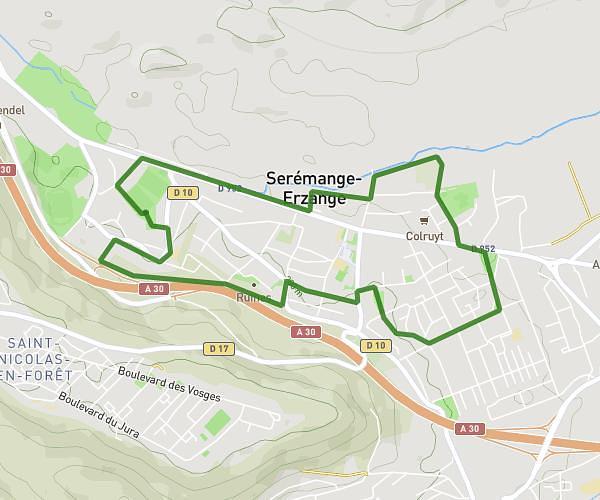
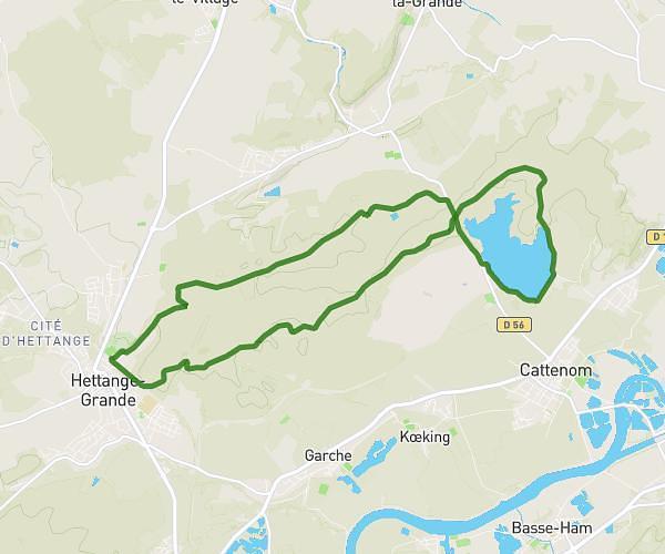
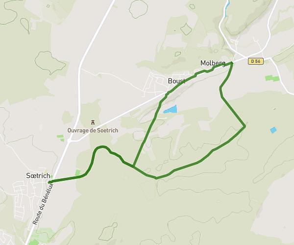
14km_Zoufftgen-Kanfen
Route details
21:30/mi
Pace
776 kcal
Calories burned
Loop trail
Route type
610ft
Min altitude
840ft
Max altitude
Route profile
446ft
Elevation gain
446ft
Elevation loss
610ft
Min altitude
840ft
Max altitude
How to get there
Trailhead: Rue De La Gare, 57330 Zoufftgen
GPS coordinates of the trailhead: 49.45991, 6.13188 / 49°27'35'' N, 6°7'54'' E