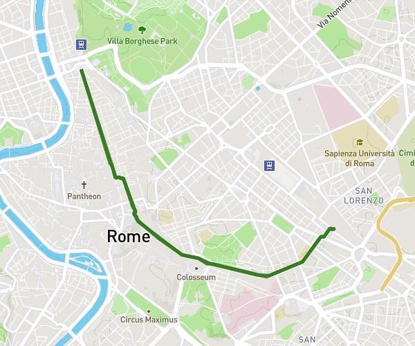
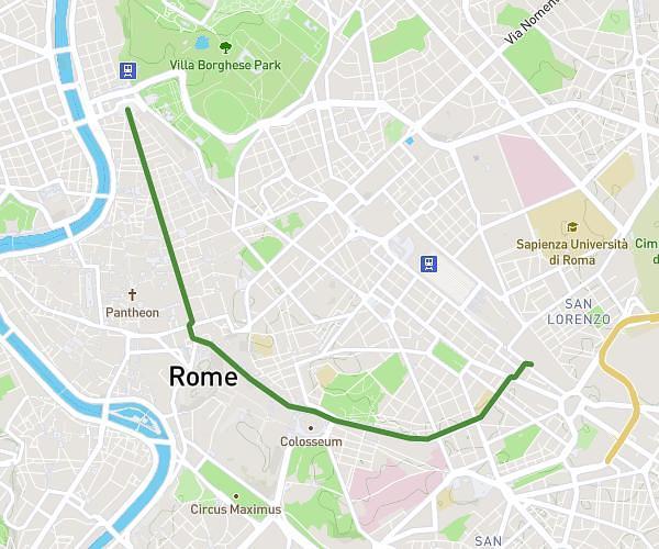
This running route covers 3.313mi starting from Roma, Rome. The run does not return to the trailhead and ends near Corso Regina Maria Pia 103, 00122 Roma Rome, Italy. This run is rated as easy, expect about 31m31s to complete it. The route has an elevation gain of 128ft and an elevation loss of 151ft.
2ª corsa
Route details
6.31mph
Speed
360 kcal
Calories burned
Point to point
Route type
0ft
Min altitude
39ft
Max altitude
Route profile
128ft
Elevation gain
151ft
Elevation loss
0ft
Min altitude
39ft
Max altitude
How to get there
Trailhead: Via Oletta 30, 00122 Roma Rome, Italy
GPS coordinates of the trailhead: 41.728079, 12.291603 / 41°43'41'' N, 12°17'29'' E