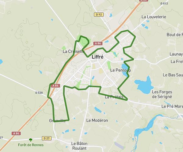
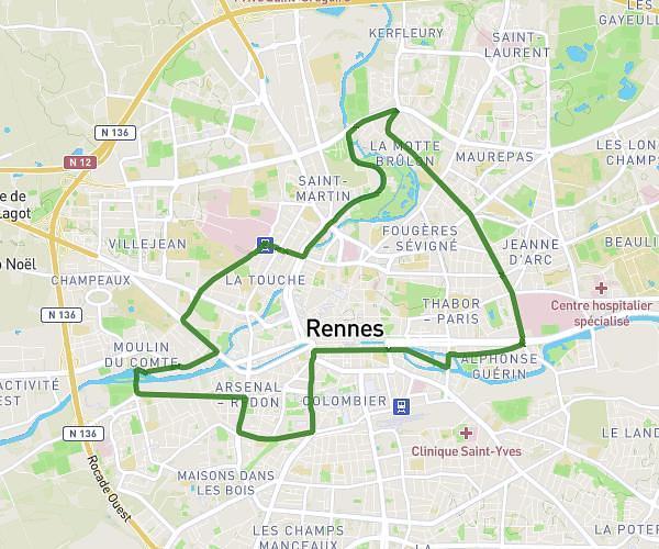
This running route covers 7.014mi starting from Le Rheu, Ille-et-Vilaine. The run is a loop trail and returns to the trailhead. This run is rated as moderate, expect about 1h15m to complete it. The route has an elevation gain of 220ft and an elevation loss of 217ft.
Option 11 km Le Rheu
Route details
5.61mph
Speed
858 kcal
Calories burned
Loop trail
Route type
79ft
Min altitude
135ft
Max altitude
Route profile
220ft
Elevation gain
217ft
Elevation loss
79ft
Min altitude
135ft
Max altitude
How to get there
Trailhead: 7 Rue Rosa Parks, 35650 Le Rheu, France
GPS coordinates of the trailhead: 48.09533, -1.79368 / 48°5'43'' N, 1°47'37'' W