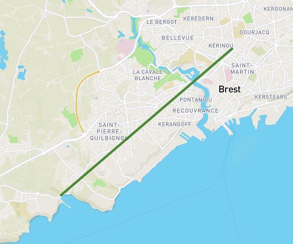
This running route covers 5.535mi starting from Saint-Renan, Finistère. The run is a loop trail and returns to the trailhead. This run is rated as moderate, expect about 48m35s to complete it. The route has an elevation gain of 16ft and an elevation loss of 16ft.
tour des lacs - saint renan
Route details
6.84mph
Speed
555 kcal
Calories burned
Loop trail
Route type
98ft
Min altitude
115ft
Max altitude
Route profile
16ft
Elevation gain
16ft
Elevation loss
98ft
Min altitude
115ft
Max altitude
How to get there
Trailhead: 26 Rue De L'aber, 29290 Saint-Renan, France
GPS coordinates of the trailhead: 48.437906, -4.631836 / 48°26'16'' N, 4°37'54'' W