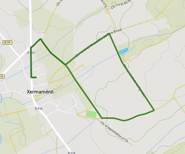
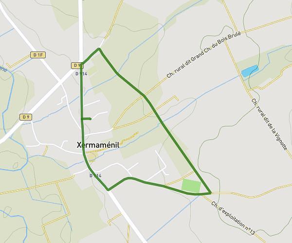
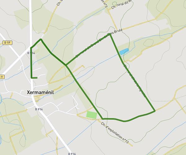
This running route covers 6.511mi starting from Moncel-lès-Lunéville, Meurthe-et-Moselle. The run is a loop trail and returns to the trailhead. This run is rated as moderate, expect about 10m3s to complete it. The route has an elevation gain of 56ft and an elevation loss of 75ft.
Beaupré
Route details
38.87mph
Speed
115 kcal
Calories burned
Loop trail
Route type
738ft
Min altitude
794ft
Max altitude
Route profile
56ft
Elevation gain
75ft
Elevation loss
738ft
Min altitude
794ft
Max altitude
How to get there
Trailhead: 23 Rue Des Geais, 54300 Moncel-lès-Lunéville, France
GPS coordinates of the trailhead: 48.571879, 6.53637 / 48°34'18'' N, 6°32'10'' E