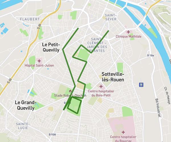
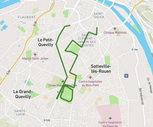
This running route covers 3.985mi starting from Préaux, Seine-Maritime. The run does not return to the trailhead and ends near 63 Allée De La Charmille, 76160 Préaux, France. This run is rated as easy, expect about 45m to complete it. The route has an elevation gain of 36ft and an elevation loss of 13ft.
Courses école
Route details
5.31mph
Speed
515 kcal
Calories burned
Point to point
Route type
518ft
Min altitude
548ft
Max altitude
Route profile
36ft
Elevation gain
13ft
Elevation loss
518ft
Min altitude
548ft
Max altitude
How to get there
Trailhead: 127 Route D'isneauville, 76160 Préaux, France
GPS coordinates of the trailhead: 49.49207, 1.21137 / 49°29'31'' N, 1°12'40'' E