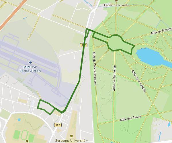
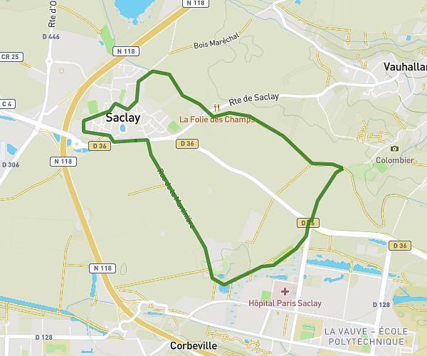
This running route covers 3.367mi starting from Forges-les-Bains, Essonne. The run is a loop trail and returns to the trailhead. This run is rated as easy, expect about 44m2s to complete it. The route has an elevation gain of 138ft and an elevation loss of 151ft.
6,3km Forêt
Route details
4.59mph
Speed
503 kcal
Calories burned
Loop trail
Route type
390ft
Min altitude
525ft
Max altitude
Route profile
138ft
Elevation gain
151ft
Elevation loss
390ft
Min altitude
525ft
Max altitude
How to get there
Trailhead: 5 Rue De La Garenne, 91470 Forges-les-Bains, France
GPS coordinates of the trailhead: 48.62575, 2.0949 / 48°37'32'' N, 2°5'41'' E