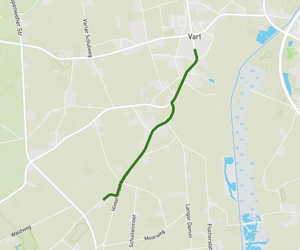
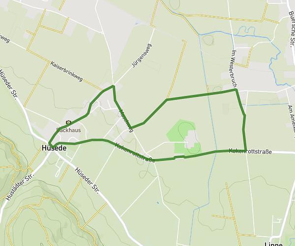
This running route covers 1.863mi starting from Bad Essen, Lower Saxony. The run is a loop trail and returns to the trailhead. This run is rated as easy, expect about 22m29s to complete it. The route has an elevation gain of 56ft and an elevation loss of 56ft.
3km
Route details
4.97mph
Speed
257 kcal
Calories burned
Loop trail
Route type
174ft
Min altitude
200ft
Max altitude
Route profile
56ft
Elevation gain
56ft
Elevation loss
174ft
Min altitude
200ft
Max altitude
How to get there
Trailhead: Kokenrottstraße 52, 49152 Bad Essen, Germany
GPS coordinates of the trailhead: 52.302948, 8.384752 / 52°18'10'' N, 8°23'5'' E