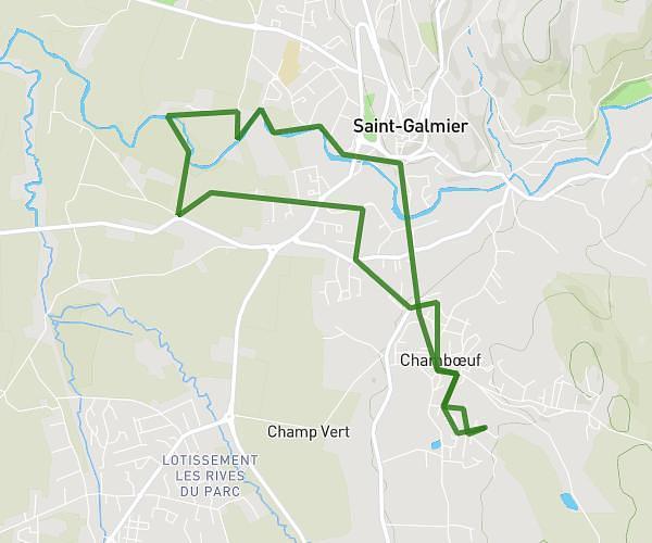
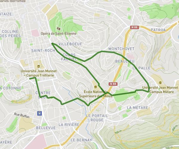
This running route covers 4.317mi starting from Saint-Étienne, Loire. The run is a loop trail and returns to the trailhead. This run is rated as easy, expect about 50m to complete it. The route has an elevation gain of 518ft and an elevation loss of 522ft.
7km
Route details
5.18mph
Speed
572 kcal
Calories burned
Loop trail
Route type
1686ft
Min altitude
1932ft
Max altitude
Route profile
518ft
Elevation gain
522ft
Elevation loss
1686ft
Min altitude
1932ft
Max altitude
How to get there
Trailhead: 6 Rue Sainte-Catherine, 42000 Saint-Étienne, France
GPS coordinates of the trailhead: 45.43701, 4.38696 / 45°26'13'' N, 4°23'13'' E