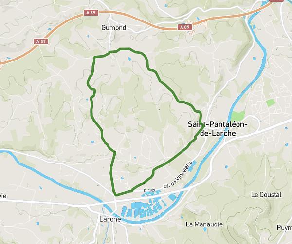
This running route covers 6.296mi starting from Malemort, Corrèze. The run is a loop trail and returns to the trailhead. This run is rated as moderate, expect about 40m31s to complete it. The route has an elevation gain of 187ft and an elevation loss of 184ft.
Les runners du 19
Route details
9.32mph
Speed
463 kcal
Calories burned
Loop trail
Route type
374ft
Min altitude
423ft
Max altitude
Route profile
187ft
Elevation gain
184ft
Elevation loss
374ft
Min altitude
423ft
Max altitude
How to get there
Trailhead: Avenue Du Parc Des Sports, 19360 Malemort, France
GPS coordinates of the trailhead: 45.17093, 1.57732 / 45°10'15'' N, 1°34'38'' E