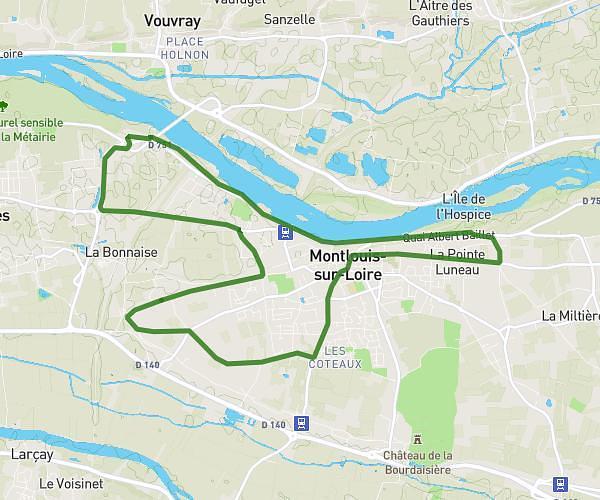
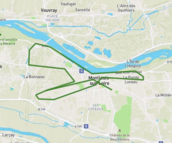
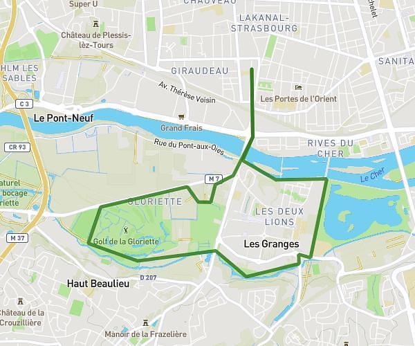
This running route covers 9.908mi starting from Saint-Cyr-sur-Loire, Indre-et-Loire. The run is a loop trail and returns to the trailhead. This run is rated as hard, expect about 1h to complete it. The route has an elevation gain of 187ft and an elevation loss of 151ft.
16km
Route details
9.91mph
Speed
686 kcal
Calories burned
Loop trail
Route type
174ft
Min altitude
341ft
Max altitude
Route profile
187ft
Elevation gain
151ft
Elevation loss
174ft
Min altitude
341ft
Max altitude
How to get there
Trailhead: 1 Allée Louis-Yannick Baillargeaux, 37540 Saint-Cyr-sur-Loire, France
GPS coordinates of the trailhead: 47.423687, 0.668843 / 47°25'25'' N, 0°40'7'' E