MapPlanner
7.581mi
Distance
4h26m
Duration
+1923ft
Elevation gain
-2218ft
Elevation loss
Moderate
Level

SAEGMATT-CASCADES-SCHALLERN-GASCHNEY-BRAUNKOPF-METZERAL-22/08/24

Route details

1.55mph
Speed
2014 kcal
Calories burned
10.3%
Avg grade
Point to point
Route type
1572ft
Min altitude
3632ft
Max altitude
Steep climb

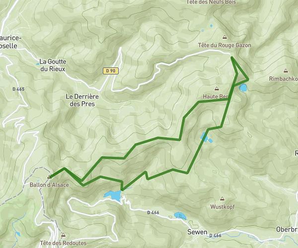
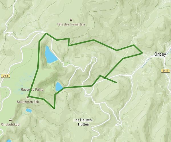
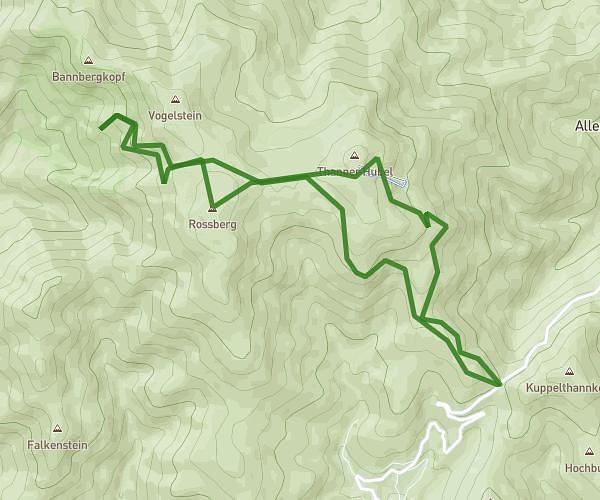
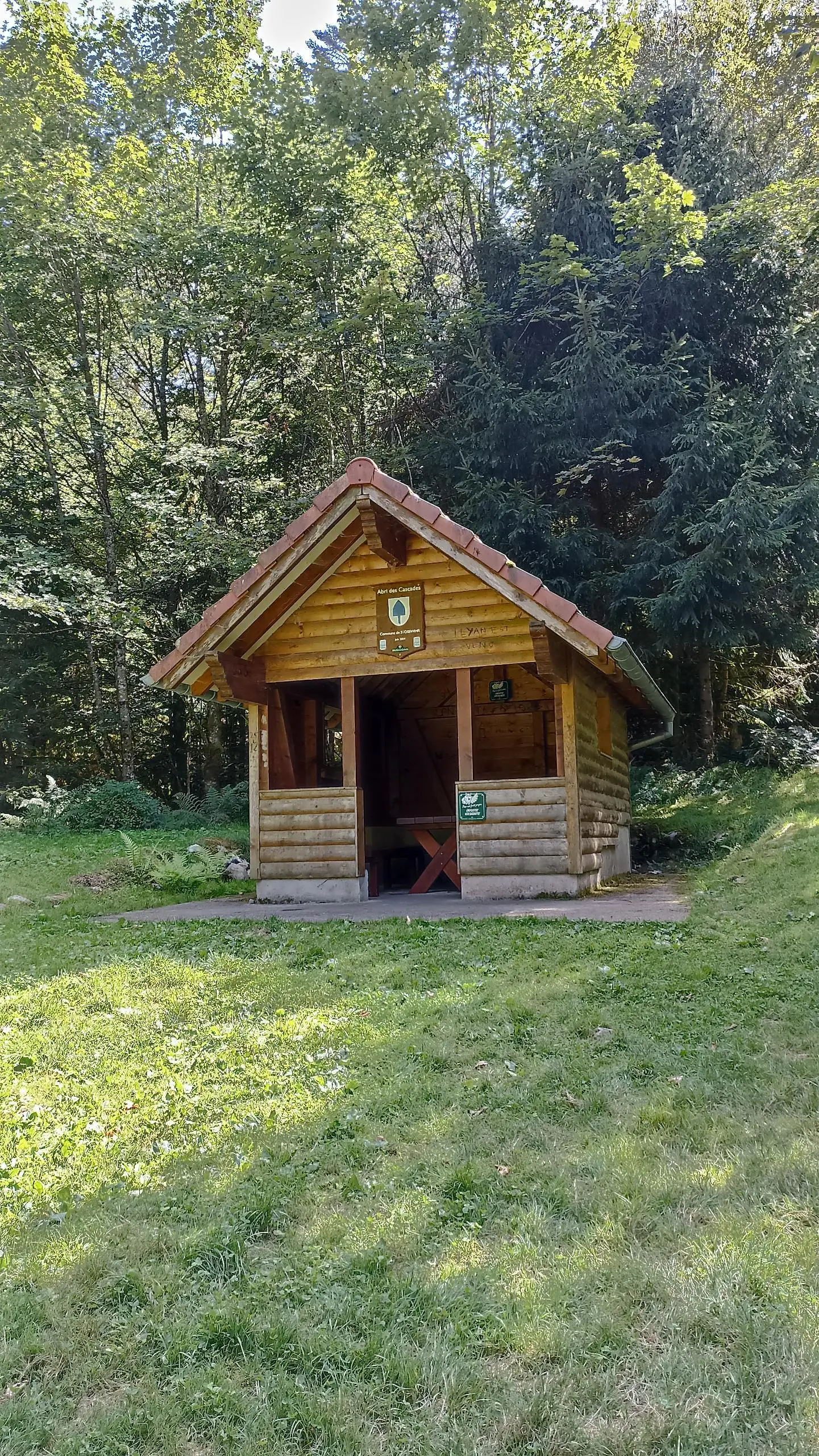
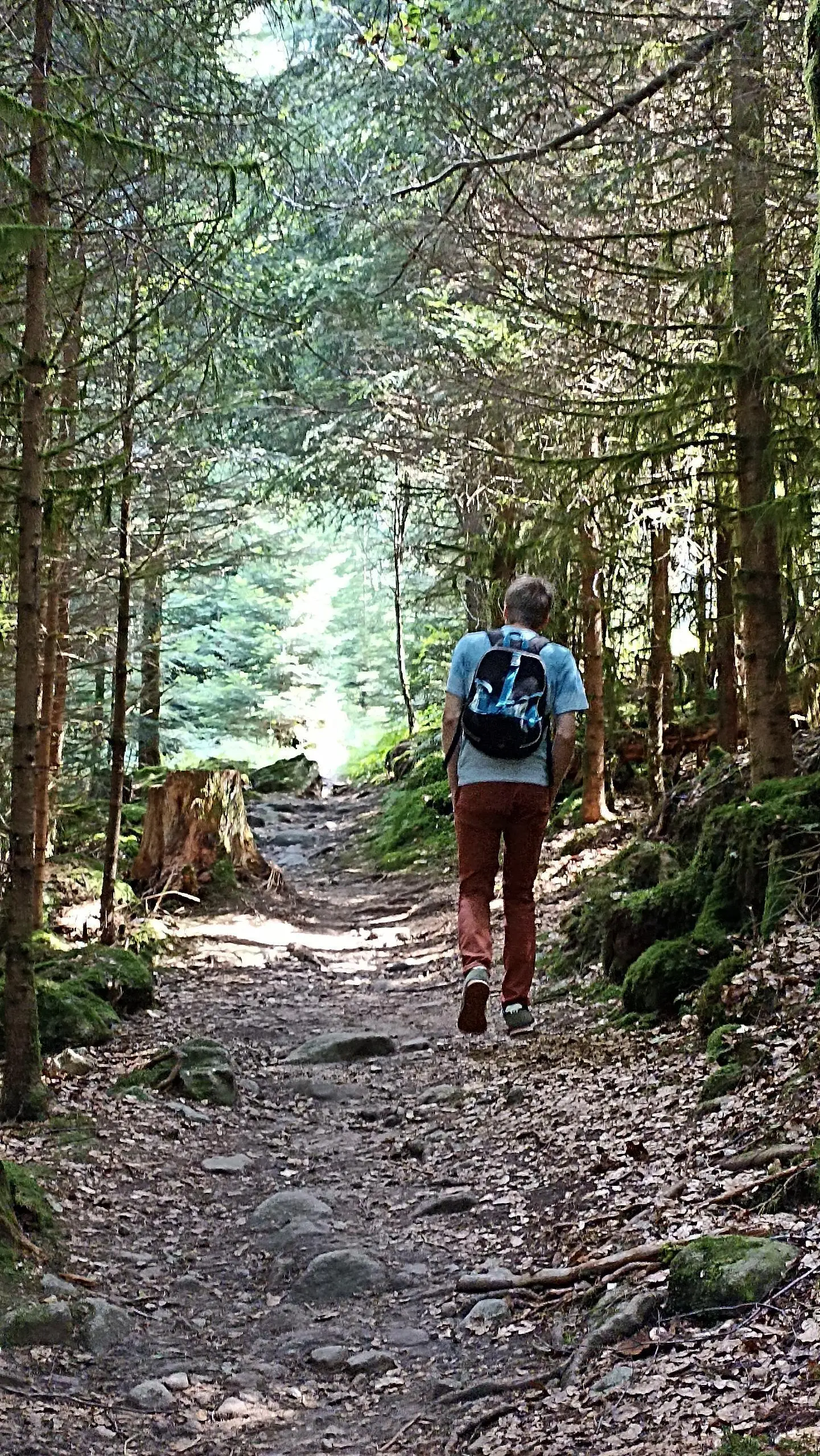
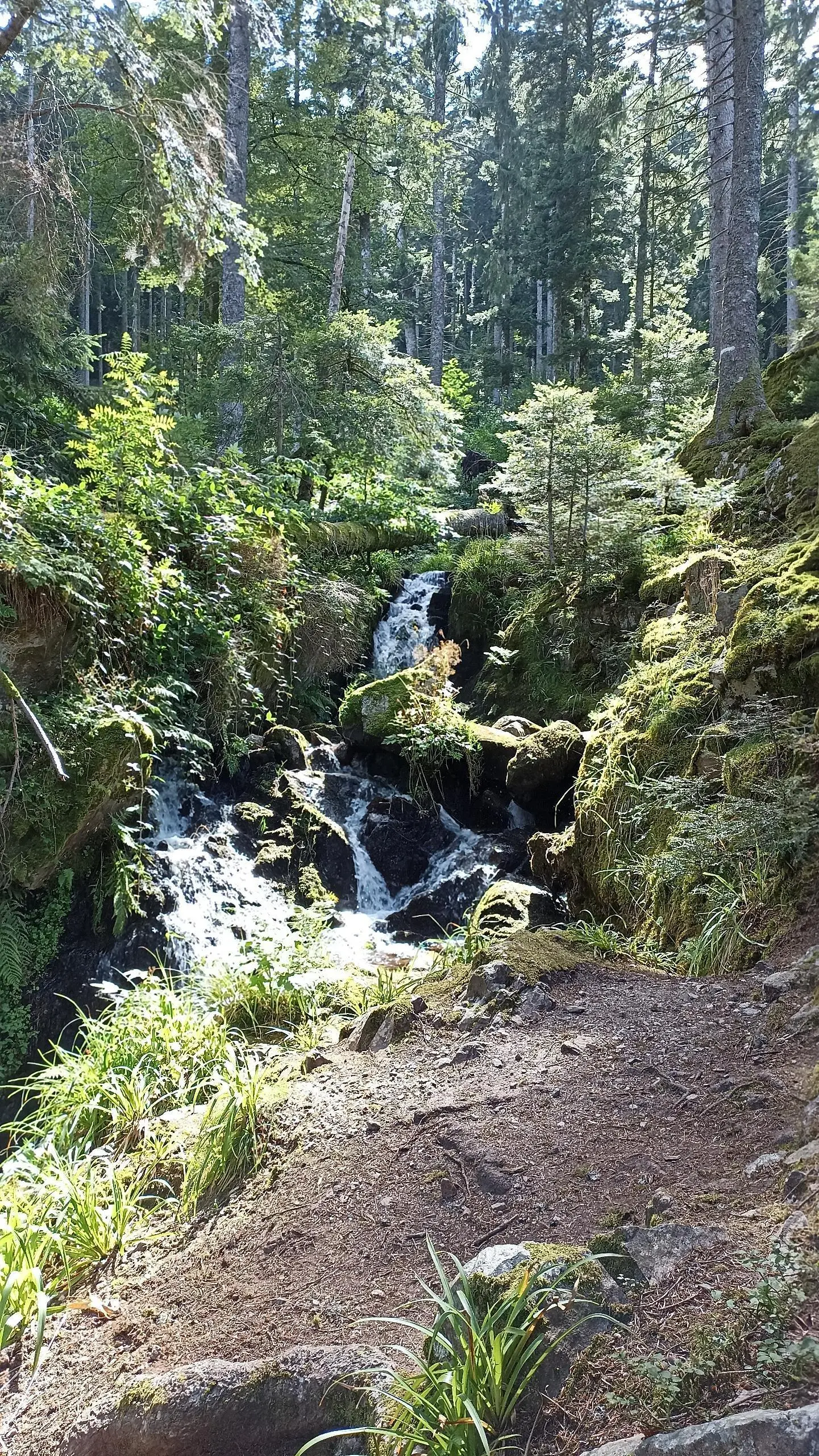
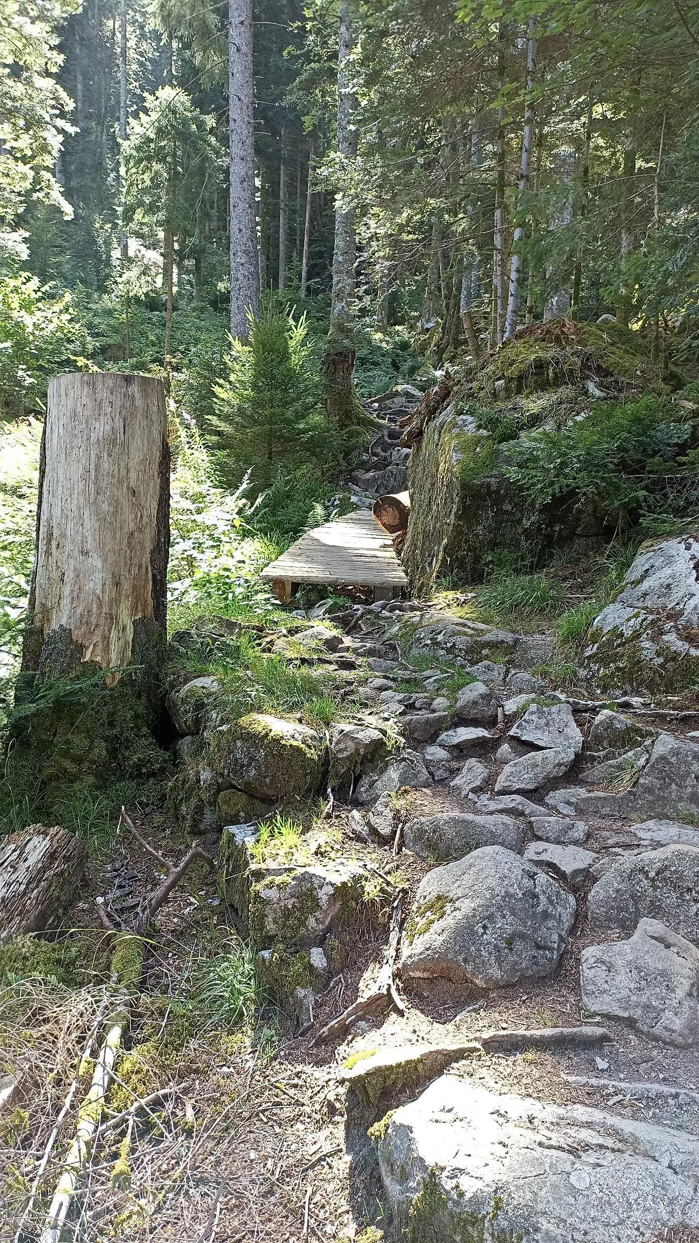
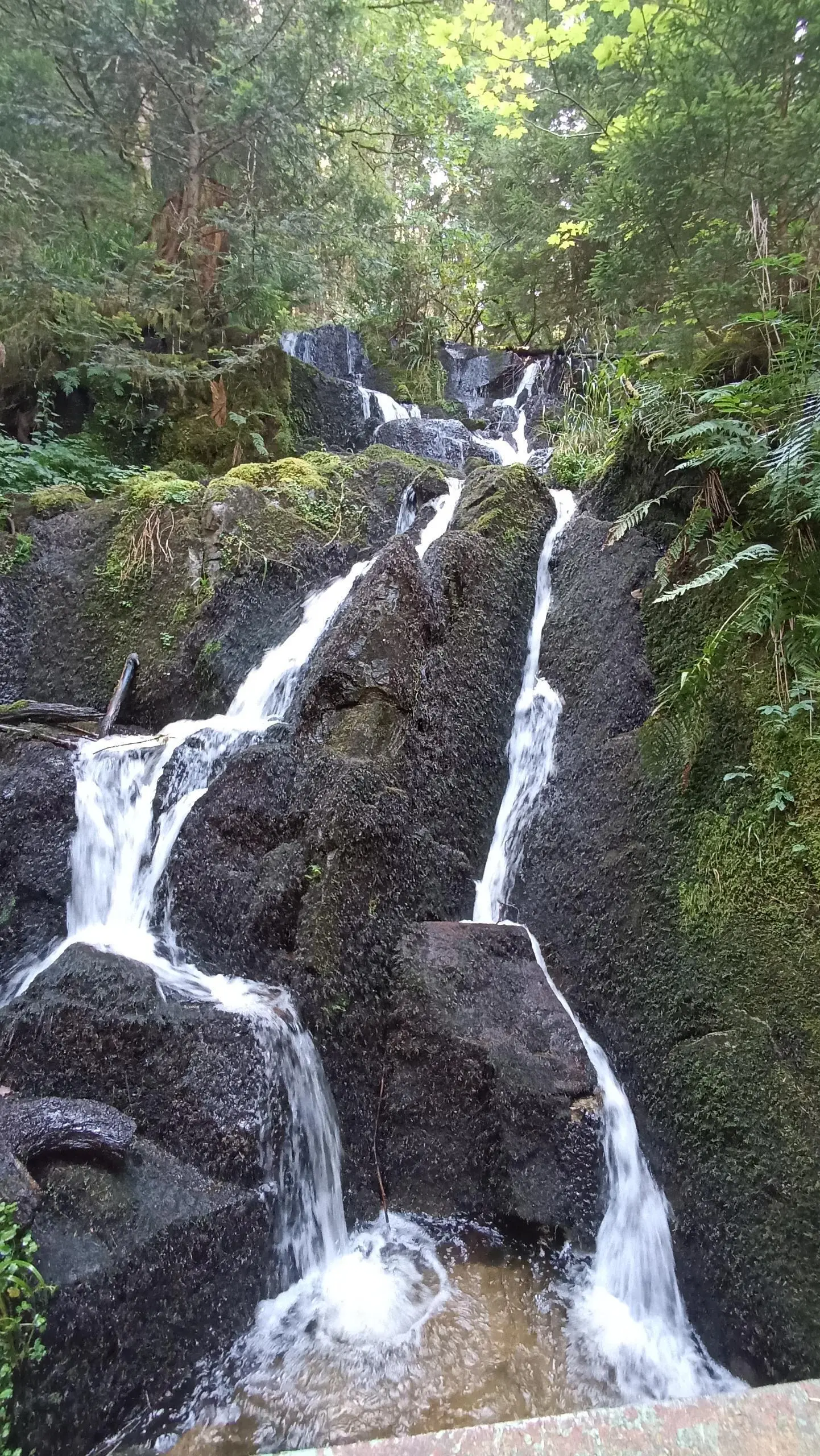
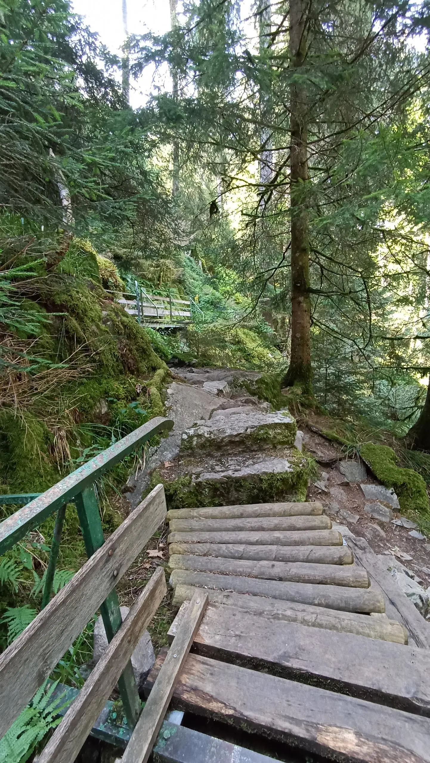
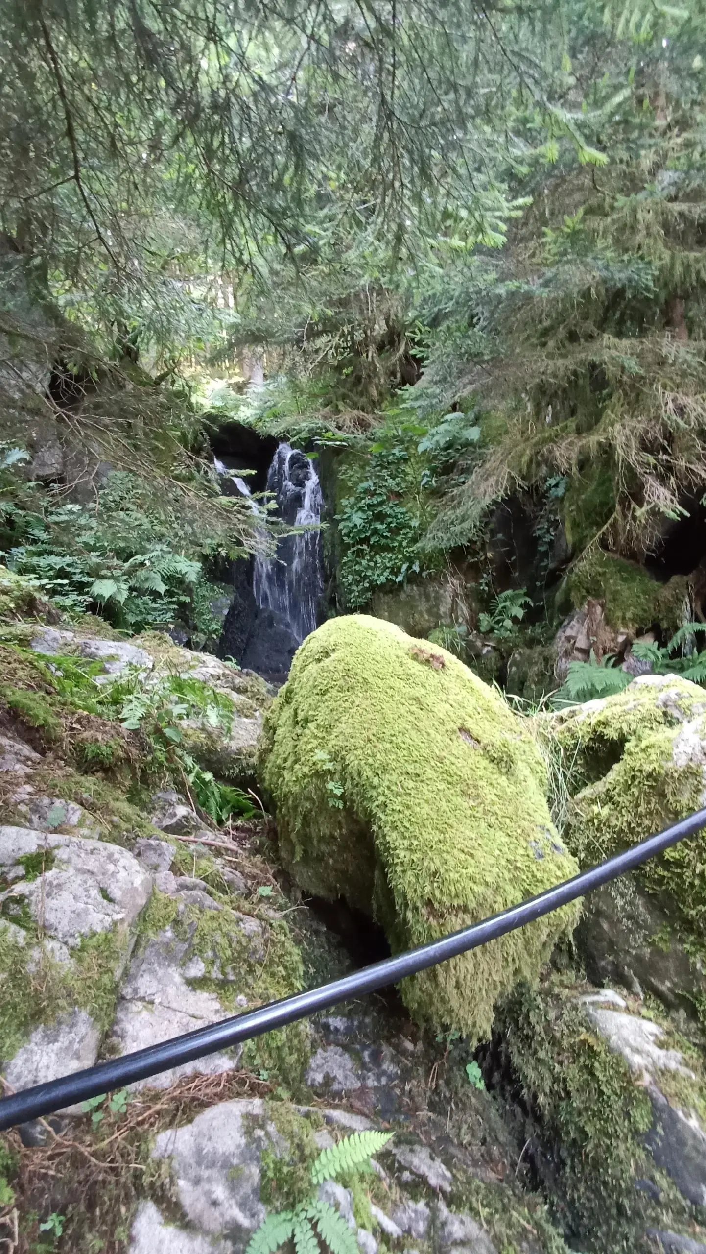
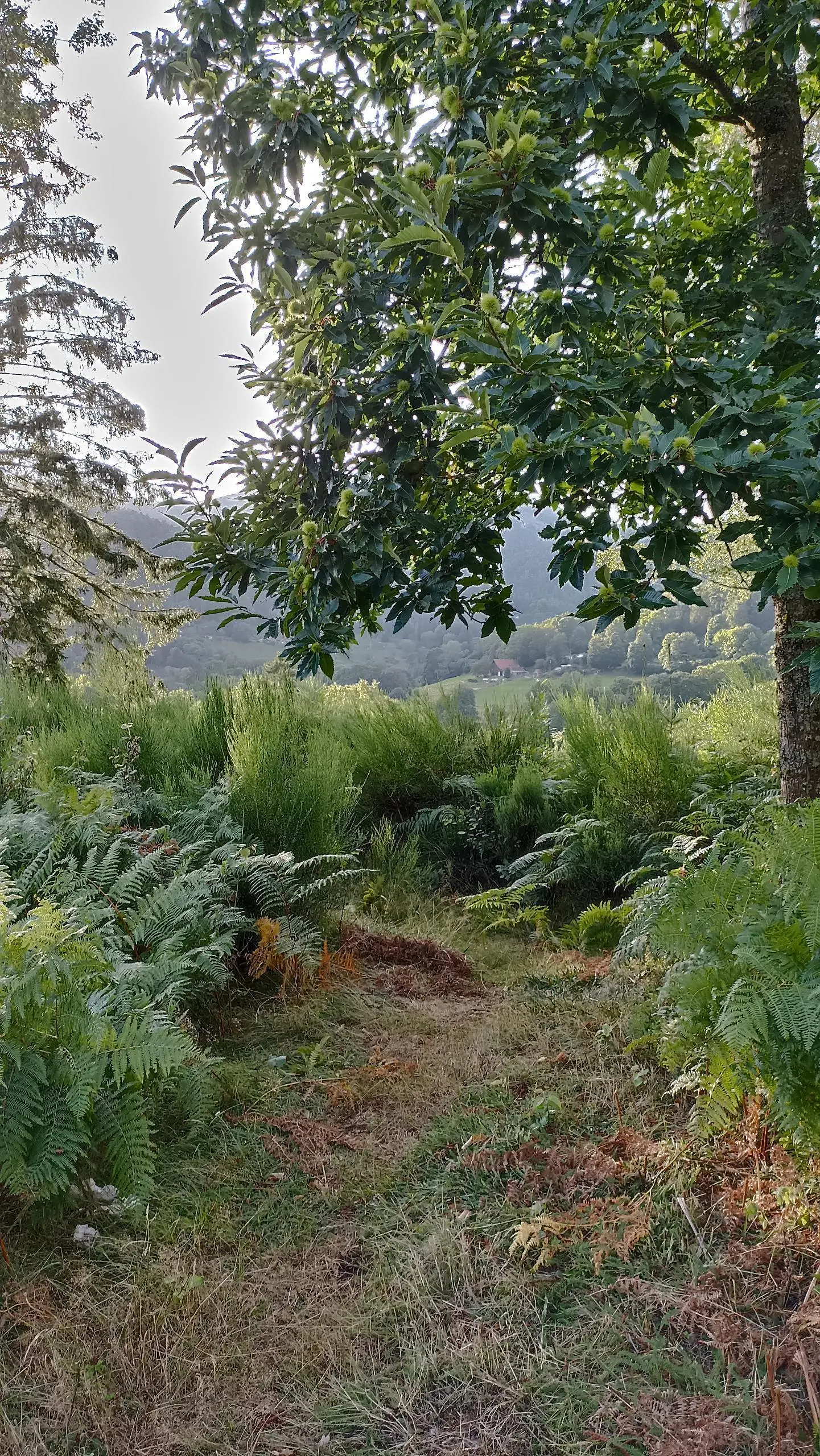
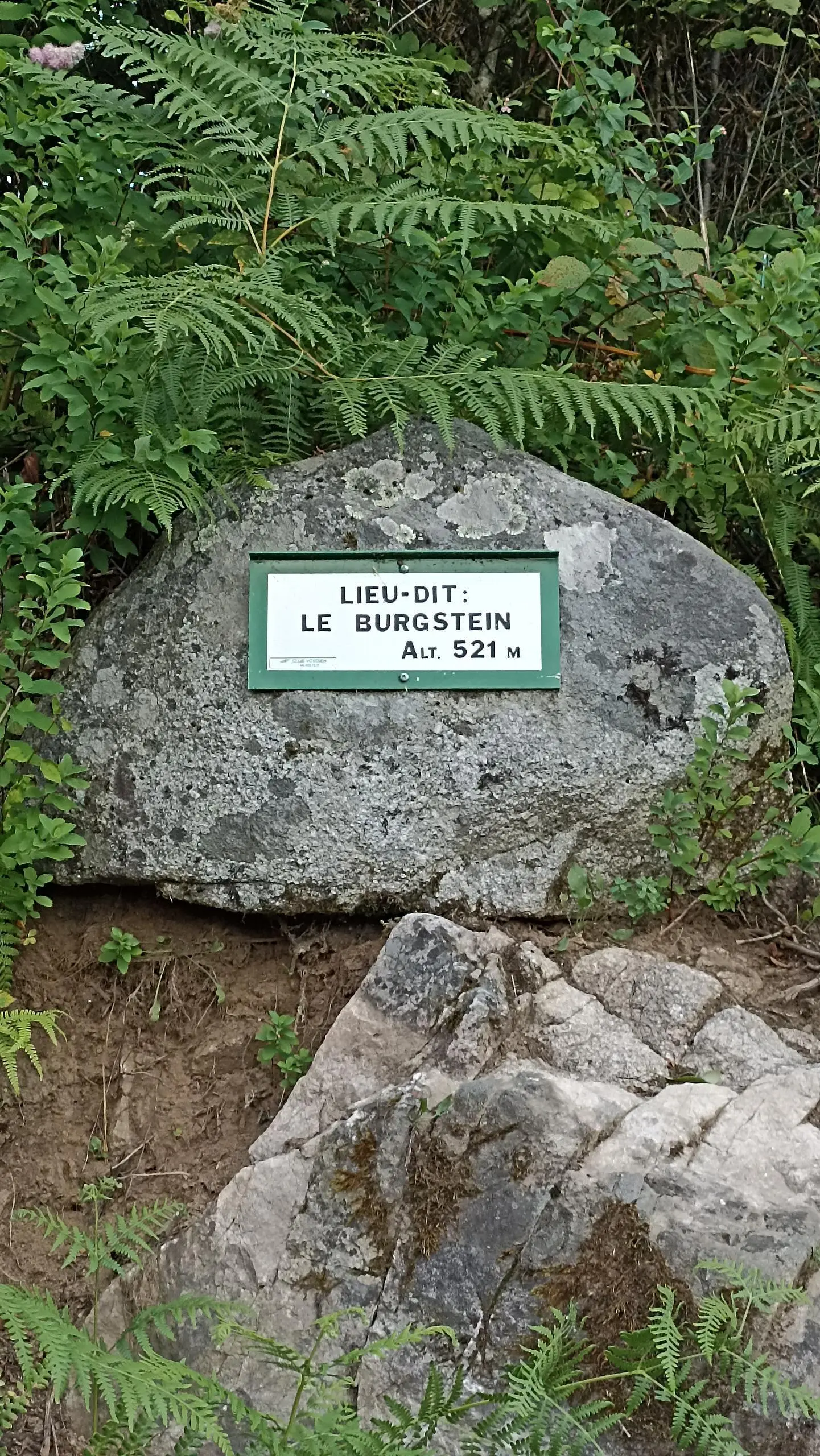
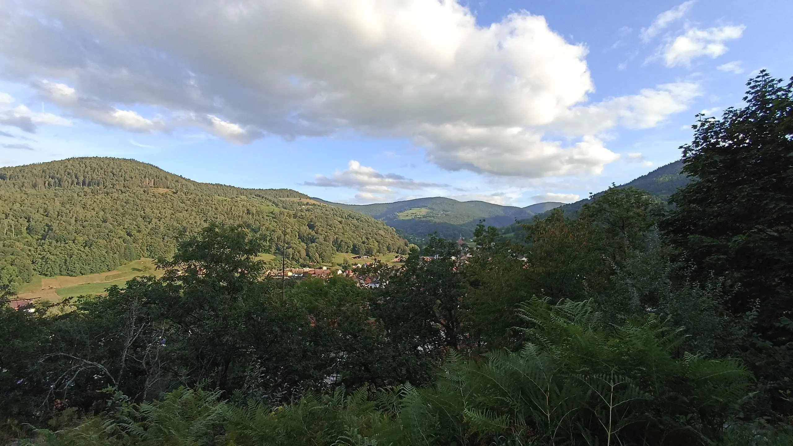
This hiking trail covers 7.581mi starting from Stosswihr, Haut-Rhin. The hike does not return to the trailhead and ends near 4 Rue De Muhlbach, 68380 Metzeral, France. This hike is rated as moderate, plan for about 4h26m to complete it. The route has an elevation gain of 1923ft and an elevation loss of 2218ft.

Description of the route by the creator

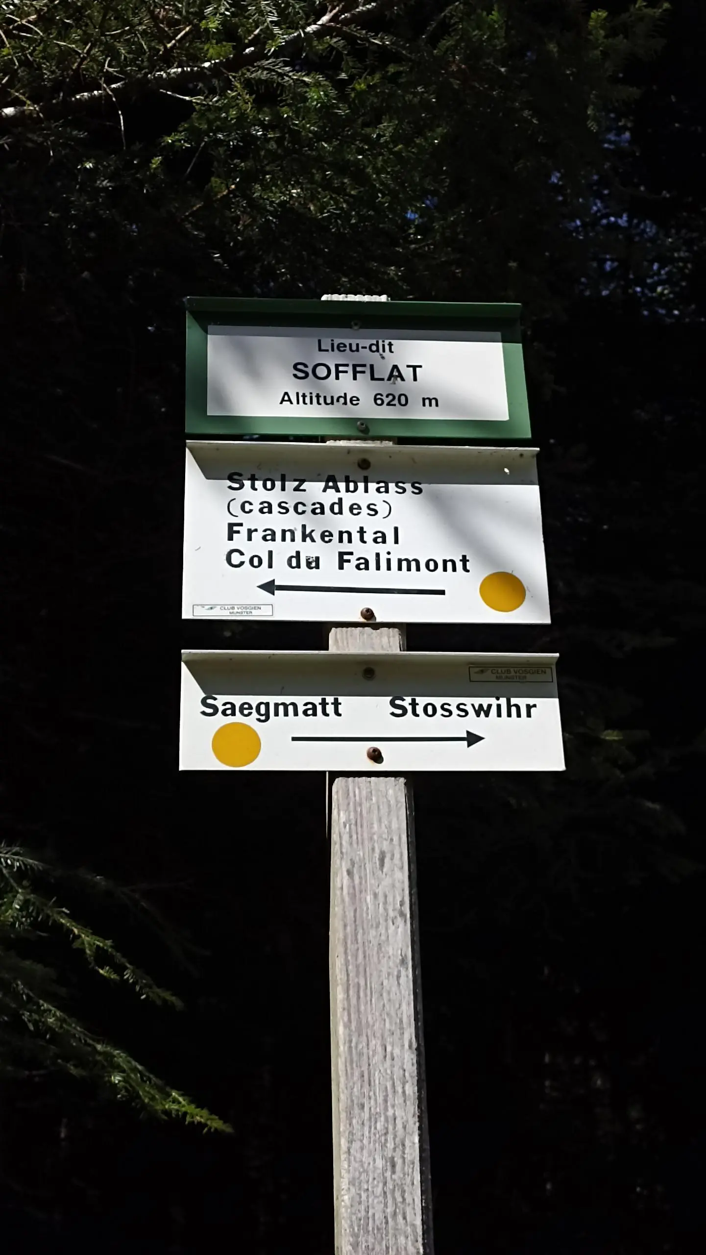
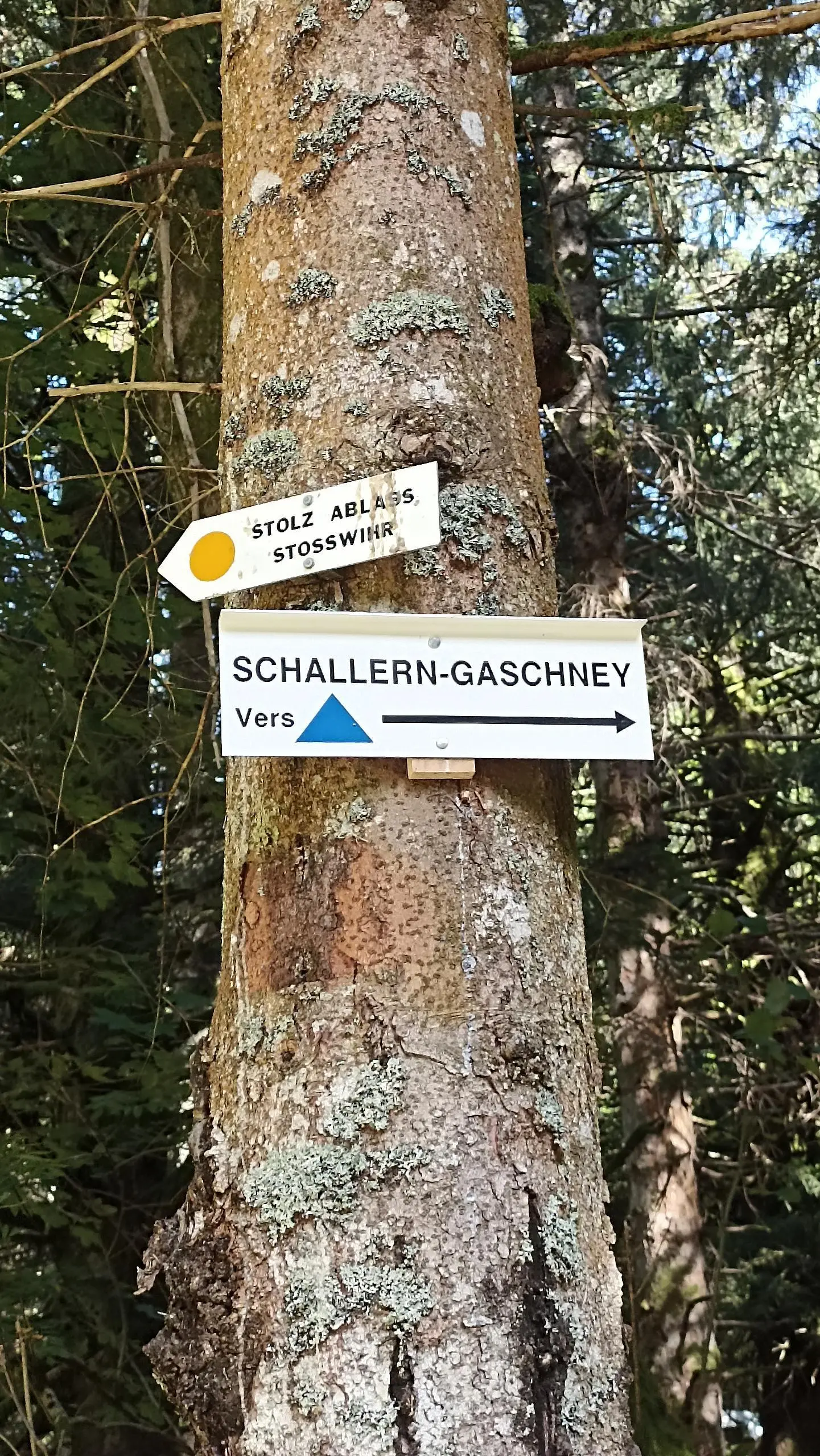
time calculated WITH breaks bring a 2nd car or take the train or bus to Metzeral station

(Description automatically translated)

Route profile

1923ft
Elevation gain
2218ft
Elevation loss
1572ft
Min altitude
3632ft
Max altitude

How to get there

Trailhead: 7 Chemin De Saegmatt, 68140 Stosswihr, France

GPS coordinates of the trailhead: 48.05406, 7.05554 / 48°3'14'' N, 7°3'19'' E

Caution: May Cross Private Property

This route may pass through or near private property. Always respect posted signs, obtain permission where required, and follow local trespassing laws. MapPlanner does not guarantee public access along any route.

Safety Notice

Trail and road conditions may change without notice due to weather, construction, or other factors. Always verify current conditions before heading out. You are responsible for your own safety — follow local signage, obey traffic laws, and use your best judgment on the trail.