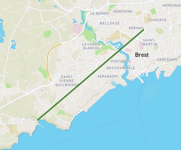
This running route covers 10.821mi starting from Tréglonou, Finistère. The run does not return to the trailhead and ends near Chemin Des Dunes, 29830 Ploudalmézeau. This run is rated as hard, expect about 5h48m to complete it. The route has an elevation gain of 49ft and an elevation loss of 33ft.
treglonou treompan
Route details
1.86mph
Speed
3982 kcal
Calories burned
Point to point
Route type
3ft
Min altitude
46ft
Max altitude
Route profile
49ft
Elevation gain
33ft
Elevation loss
3ft
Min altitude
46ft
Max altitude
How to get there
Trailhead: D 28, 29870 Tréglonou
GPS coordinates of the trailhead: 48.5534, -4.53541 / 48°33'12'' N, 4°32'7'' W