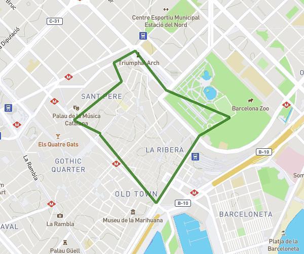
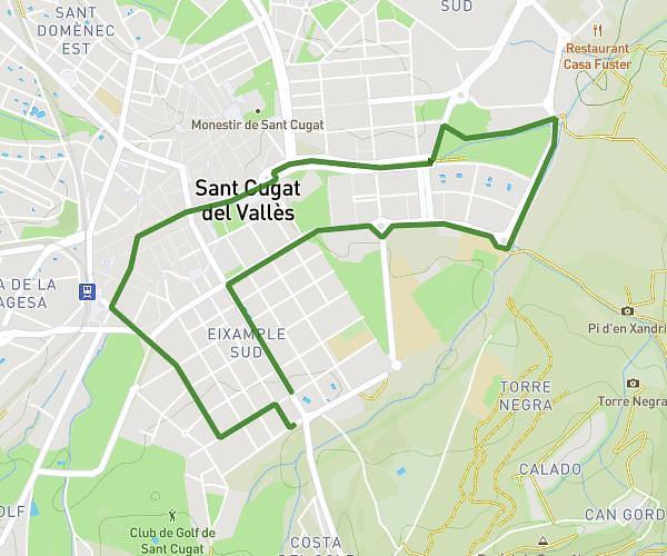
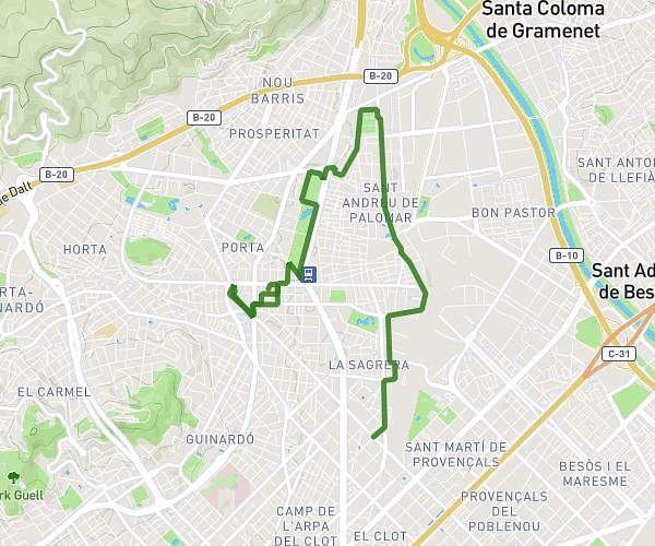
This running route covers 6.048mi starting from Sabadell, Barcelona. The run is a loop trail and returns to the trailhead. This run is rated as moderate, expect about 1h52s to complete it. The route has an elevation gain of 374ft and an elevation loss of 374ft.
Running nocturn
Route details
5.97mph
Speed
696 kcal
Calories burned
Loop trail
Route type
574ft
Min altitude
725ft
Max altitude
Route profile
374ft
Elevation gain
374ft
Elevation loss
574ft
Min altitude
725ft
Max altitude
How to get there
Trailhead: Carrer De Roger De Flor 39, 08205 Sabadell, Barcelona, Spain
GPS coordinates of the trailhead: 41.54171, 2.10371 / 41°32'30'' N, 2°6'13'' E