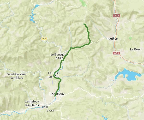
This cycling route covers 17.628mi starting from Bédarieux, Hérault. The ride does not return to the trailhead and ends near Rue Du Cimetiere, 34390 Saint-Étienne-d'Albagnan. This route is rated as moderate, plan for about 1h47m to complete it. The route has an elevation gain of 223ft and an elevation loss of 75ft.
Bédarieux St Etienne d'Albagnan
Route details
940 kcal
Calories burned
0.3%
Avg grade
Point to point
Route type
584ft
Min altitude
801ft
Max altitude
Route profile
223ft
Elevation gain
75ft
Elevation loss
584ft
Min altitude
801ft
Max altitude
How to get there
Trailhead: Avenue De Nissergues, 34600 Bédarieux
GPS coordinates of the trailhead: 43.61128, 3.15155 / 43°36'40'' N, 3°9'5'' E