MapPlanner
17.014mi
Distance
1h43m
Duration
9.91mph
Speed
+1496ft
Elevation gain
-157ft
Elevation loss
Hard
Level

Vissec D142 vers Bédarieux

Route details

921 kcal
Calories burned
1.8%
Avg grade
Point to point
Route type
1503ft
Min altitude
2841ft
Max altitude

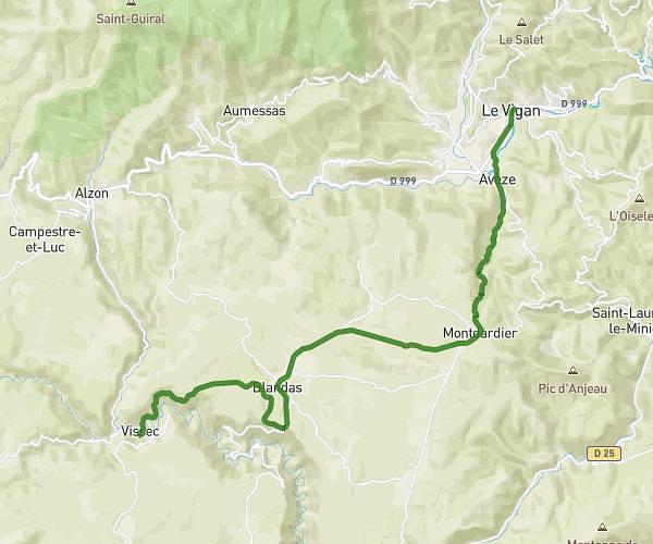
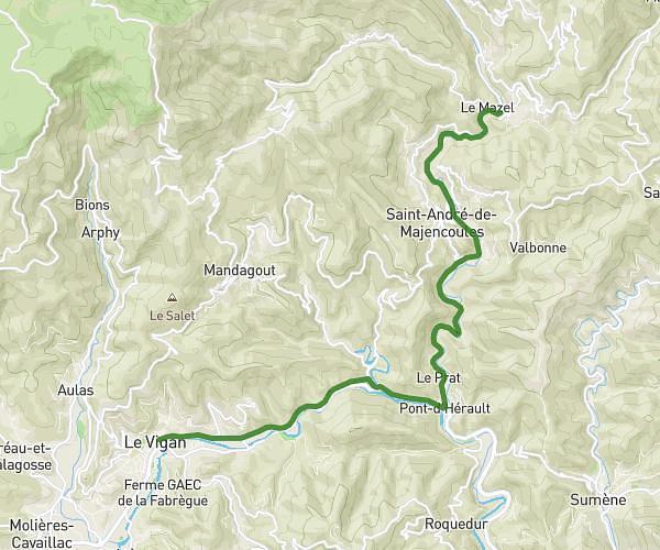
This cycling route covers 17.014mi starting from Vissec, Gard. The ride does not return to the trailhead and ends near D 902, 34700 Les Plans. This route is rated as hard, plan for about 1h43m to complete it. The route has an elevation gain of 1496ft and an elevation loss of 157ft.
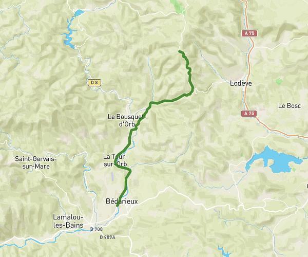
Route profile

1496ft
Elevation gain
157ft
Elevation loss
1503ft
Min altitude
2841ft
Max altitude

How to get there

Trailhead: D 113, 30770 Vissec

GPS coordinates of the trailhead: 43.89965, 3.45963 / 43°53'58'' N, 3°27'34'' E

Caution: May Cross Private Property

This route may pass through or near private property. Always respect posted signs, obtain permission where required, and follow local trespassing laws. MapPlanner does not guarantee public access along any route.

Safety Notice

Trail and road conditions may change without notice due to weather, construction, or other factors. Always verify current conditions before heading out. You are responsible for your own safety — follow local signage, obey traffic laws, and use your best judgment on the trail.