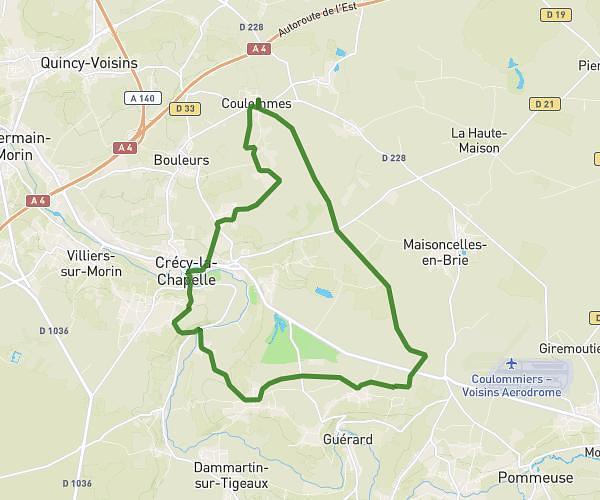
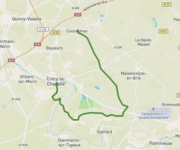
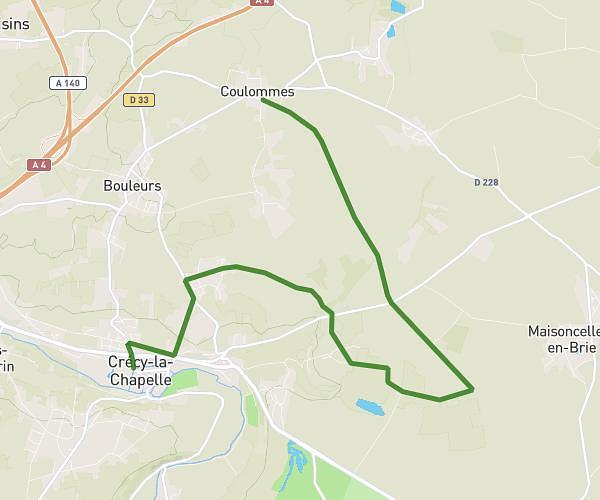
This hiking trail covers 6.966mi starting from Nogent-l'Artaud, Aisne. The hike is a loop trail and returns to the trailhead. This hike is rated as moderate, plan for about 2h14m to complete it. The route has an elevation gain of 692ft and an elevation loss of 699ft.
Nogent chezy
Route details
3.11mph
Speed
971 kcal
Calories burned
3.8%
Avg grade
Loop trail
Route type
180ft
Min altitude
440ft
Max altitude
Route profile
692ft
Elevation gain
699ft
Elevation loss
180ft
Min altitude
440ft
Max altitude
How to get there
Trailhead: Rue De La Grande Montagne, 02310 Nogent-l'Artaud
GPS coordinates of the trailhead: 48.96147, 3.32333 / 48°57'41'' N, 3°19'23'' E