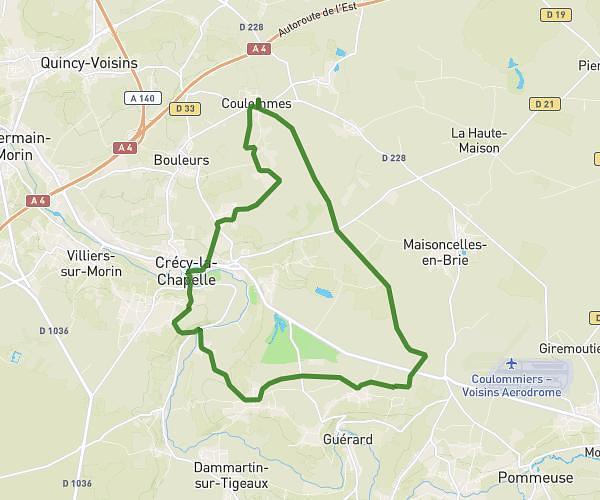
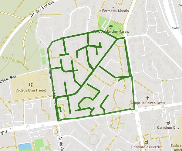
This hiking trail covers 7.164mi starting from Sammeron, Seine-et-Marne. The hike is a loop trail and returns to the trailhead. This hike is rated as easy, plan for about 2h18m to complete it. The route has an elevation gain of 420ft and an elevation loss of 417ft.
Ussy St jean
Route details
3.11mph
Speed
986 kcal
Calories burned
2.2%
Avg grade
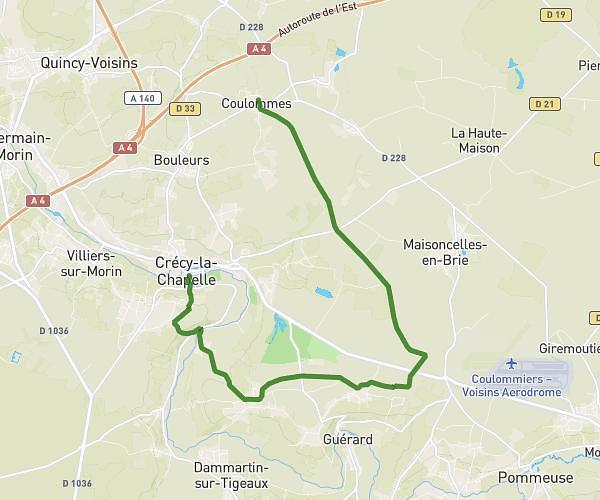
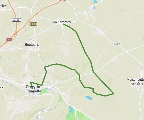
Loop trail
Route type
164ft
Min altitude
472ft
Max altitude
Route profile
420ft
Elevation gain
417ft
Elevation loss
164ft
Min altitude
472ft
Max altitude
How to get there
Trailhead: D 21p, 77260 Sammeron
GPS coordinates of the trailhead: 48.94862, 3.07333 / 48°56'55'' N, 3°4'23'' E