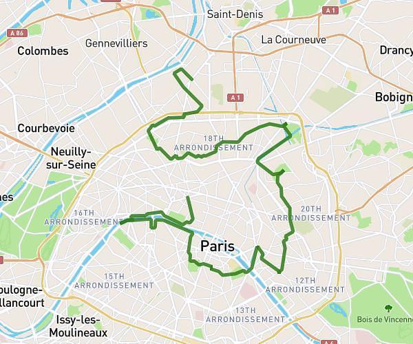
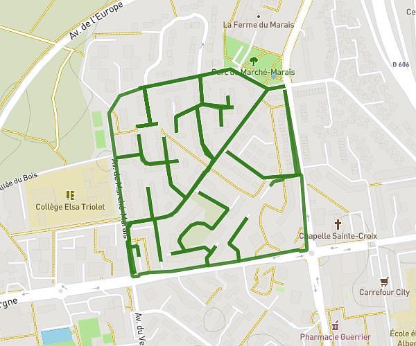
This hiking trail covers 7.609mi starting from Thorigny-sur-Marne, Seine-et-Marne. The hike is a loop trail and returns to the trailhead. This hike is rated as moderate, plan for about 2h42m to complete it. The route has an elevation gain of 509ft and an elevation loss of 505ft.
xav1
Route details
2.82mph
Speed
1158 kcal
Calories burned
2.5%
Avg grade
Loop trail
Route type
121ft
Min altitude
381ft
Max altitude
Route profile
509ft
Elevation gain
505ft
Elevation loss
121ft
Min altitude
381ft
Max altitude
How to get there
Trailhead: D 418, 77400 Thorigny-sur-Marne, France
GPS coordinates of the trailhead: 48.900916, 2.713591 / 48°54'3'' N, 2°42'48'' E