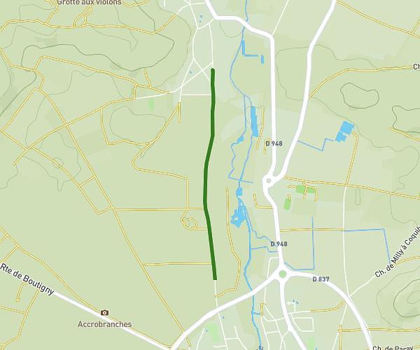
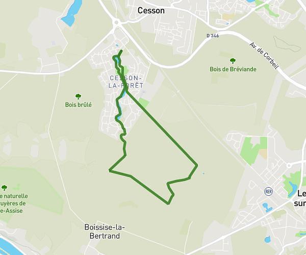
This hiking trail covers 4.817mi starting from Le Mée-sur-Seine, Seine-et-Marne. The hike does not return to the trailhead and ends near 71 Avenue Des Glières, 77350 Le Mée-sur-Seine, France. This hike is rated as easy, plan for about 1h36m to complete it. The route has an elevation gain of 203ft and an elevation loss of 210ft.
LeMee Nord
Route details
3.01mph
Speed
681 kcal
Calories burned
1.6%
Avg grade
Point to point
Route type
226ft
Min altitude
253ft
Max altitude
Route profile
203ft
Elevation gain
210ft
Elevation loss
226ft
Min altitude
253ft
Max altitude
How to get there
Trailhead: 419 Avenue De Marché-Marais, 77350 Le Mée-sur-Seine, France
GPS coordinates of the trailhead: 48.54653, 2.63592 / 48°32'47'' N, 2°38'9'' E