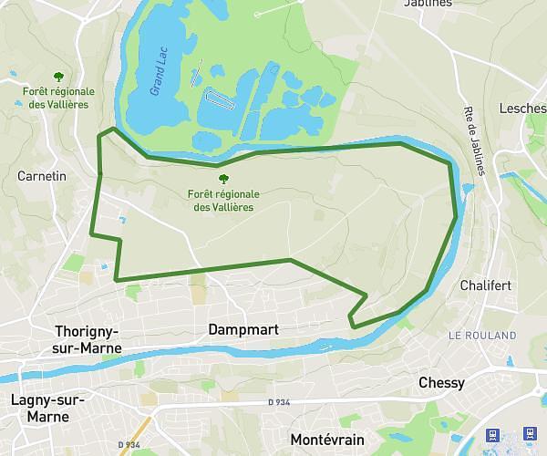
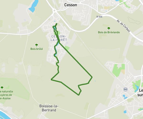
This hiking trail covers 2.83mi starting from Yerres, Essonne. The hike is a loop trail and returns to the trailhead. This hike is rated as easy, plan for about 16m to complete it. The route has an elevation gain of 364ft and an elevation loss of 367ft.
Boucle yerres
Route details
10.61mph
Speed
117 kcal
Calories burned
4.9%
Avg grade
Loop trail
Route type
121ft
Min altitude
384ft
Max altitude
Route profile
364ft
Elevation gain
367ft
Elevation loss
121ft
Min altitude
384ft
Max altitude
How to get there
Trailhead: 1f Résidence Des Rives De L'yerres, 91330 Yerres, France
GPS coordinates of the trailhead: 48.714914, 2.479228 / 48°42'53'' N, 2°28'45'' E