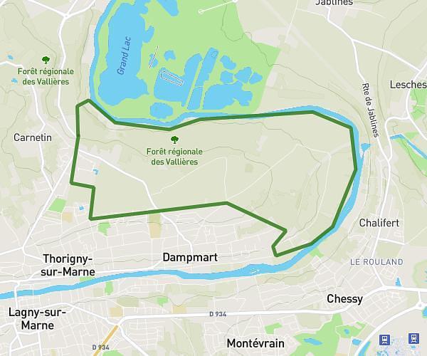
This hiking trail covers 24.201mi starting from Saint-Ouen-sur-Seine, Seine-Saint-Denis. The hike does not return to the trailhead and ends near 8t Boulevard Des Capucines, 75009 Paris, France. This hike is rated as strenuous, plan for about 8h20m to complete it. The route has an elevation gain of 2566ft and an elevation loss of 2539ft.
50k ZOEMMA
Route details
2.9mph
Speed
3617 kcal
Calories burned
4.0%
Avg grade
Point to point
Route type
69ft
Min altitude
390ft
Max altitude
Route profile
2566ft
Elevation gain
2539ft
Elevation loss
69ft
Min altitude
390ft
Max altitude
How to get there
Trailhead: 1 Rue Du Docteur Bauer, 93400 Saint-Ouen-sur-Seine, France
GPS coordinates of the trailhead: 48.912632, 2.334712 / 48°54'45'' N, 2°20'4'' E