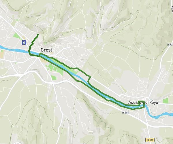
This running route covers 7.582mi starting from Châtillon-en-Diois, Drôme. The run is a loop trail and returns to the trailhead. This run is rated as hard, expect about 1h21m to complete it. The route has an elevation gain of 1388ft and an elevation loss of 1381ft.
Clairette de dis
Route details
5.62mph
Speed
926 kcal
Calories burned
Loop trail
Route type
1690ft
Min altitude
2867ft
Max altitude
Route profile
1388ft
Elevation gain
1381ft
Elevation loss
1690ft
Min altitude
2867ft
Max altitude
How to get there
Trailhead: 5000 La Touche, 26410 Châtillon-en-Diois, France
GPS coordinates of the trailhead: 44.68335, 5.45064 / 44°41'0'' N, 5°27'2'' E