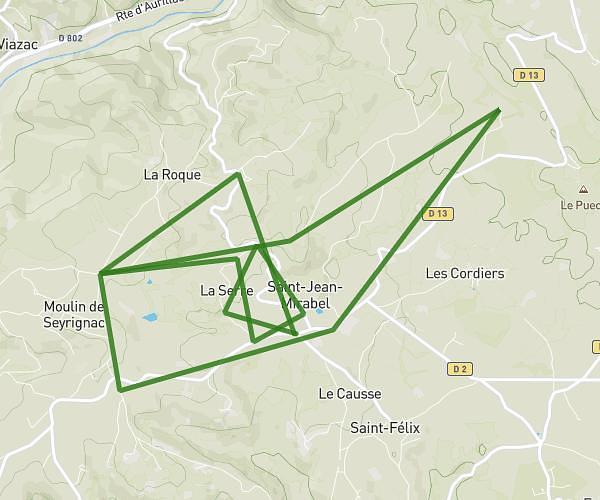
This running route covers 39.863mi starting from Almont-les-Junies, Aveyron. The run is a loop trail and returns to the trailhead. This run is rated as hard, expect about 6h52m to complete it. The route has an elevation gain of 12592ft and an elevation loss of 12602ft.
Description of the route by the creator
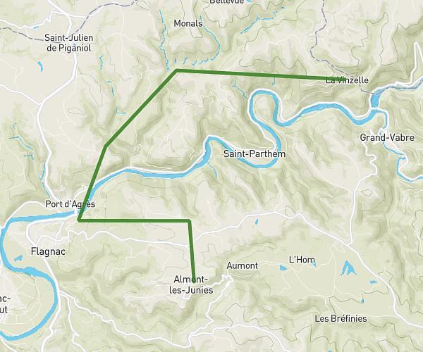
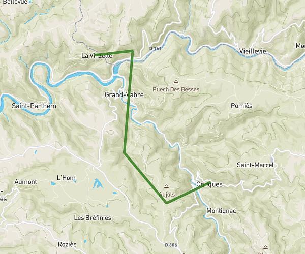
GRAND TRAIL 64 km / 2890 m D+ / SOLO or RELAIS A 4 # START / Almont-les-Junies - 8:00 a.m. # RELAIS : RELAIS 1 > Almont / Noailhac : 17.7 km - 700 D+ (+) RELAIS 2 > Noailhac / Conques : 11,0 km - 570 D+ (altitude gain) RELAIS 3 > Conques / La Vinzelle : 15,5 km - 880 D+ (+) RELAIS 4 > La Vinzelle / Almont: 20.3 km - 720 D+ (over 7000 ft) Mixed teams are made up of at least one man or at least one woman. # 5 RAVITO : Noailhac (solid - liquid): km 17.7 Conques (solid - liquid): km 28.7 La Vinzelle (solid - liquid): km 44.3 Le Roc (liquid): km 57 On arrival at Almont (solid - liquid): km 64.7 # TIME BARRIERS : Noailhac: 11h00 (km 17.7 / average 5.9 km/h) Conques: 13h00 (km 28.7 / average 5.7 km/h) La Vinzelle: 16:30 (km 44.3 / average 5.2 km/h)