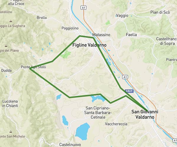
This cycling route covers 19.259mi starting from Figline e Incisa Valdarno, Florence. The ride is a loop trail and returns to the trailhead. This route is rated as strenuous, plan for about 1h56m to complete it. The route has an elevation gain of 1617ft and an elevation loss of 1617ft.
Porcodio
Route details
1038 kcal
Calories burned
3.2%
Avg grade
Loop trail
Route type
397ft
Min altitude
1096ft
Max altitude
Route profile
1617ft
Elevation gain
1617ft
Elevation loss
397ft
Min altitude
1096ft
Max altitude
How to get there
Trailhead: Via Don Primo Mazzolari 17c, 50063 Figline e Incisa Valdarno Florence, Italy
GPS coordinates of the trailhead: 43.623894, 11.475557 / 43°37'26'' N, 11°28'32'' E