MapPlanner
4.21mi
Distance
2h45m
Duration
+1903ft
Elevation gain
-1991ft
Elevation loss
Moderate
Level

Camogli vers Fruttuosio

Route details

1.53mph
Speed
1320 kcal
Calories burned
17.5%
Avg grade
Point to point
Route type
72ft
Min altitude
1608ft
Max altitude
Steep climb

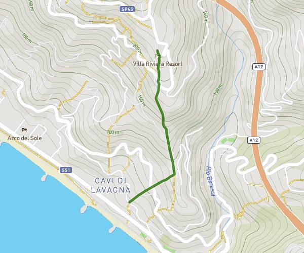
This hiking trail covers 4.21mi starting from Camogli, Genoa. The hike does not return to the trailhead and ends near Da Giovanni Ristorante, 16032 Camogli. This hike is rated as moderate, plan for about 2h45m to complete it. The route has an elevation gain of 1903ft and an elevation loss of 1991ft.

Description of the route by the creator

Hiking in the natural park of Portofino. Return by boat

(Description automatically translated)

Route profile

1903ft
Elevation gain
1991ft
Elevation loss
72ft
Min altitude
1608ft
Max altitude

How to get there

Trailhead: Via San Rocco, 16032 Camogli

GPS coordinates of the trailhead: 44.34403, 9.15825 / 44°20'38'' N, 9°9'29'' E

Caution: May Cross Private Property

This route may pass through or near private property. Always respect posted signs, obtain permission where required, and follow local trespassing laws. MapPlanner does not guarantee public access along any route.

Safety Notice

Trail and road conditions may change without notice due to weather, construction, or other factors. Always verify current conditions before heading out. You are responsible for your own safety — follow local signage, obey traffic laws, and use your best judgment on the trail.