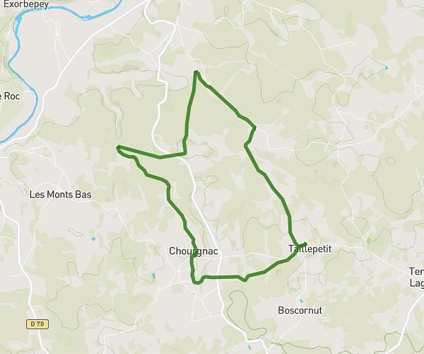
This walking route covers 5.461mi starting from Thiviers, Dordogne. The walk is a loop trail and returns to the trailhead. This walk is rated as hard, plan for about 1h29m to complete it. The route has an elevation gain of 692ft and an elevation loss of 692ft.
Eyzerac
Route details
16:29/mi
Pace
367 kcal
Calories burned
Loop trail
Route type
495ft
Min altitude
853ft
Max altitude
Route profile
692ft
Elevation gain
692ft
Elevation loss
495ft
Min altitude
853ft
Max altitude
How to get there
Trailhead: 156 Impasse Des Fauvettes, 24800 Thiviers, France
GPS coordinates of the trailhead: 45.40672, 0.931077 / 45°24'24'' N, 0°55'51'' E