MapPlanner
4.32mi
Distance
45m
Duration
10:25/mi
Pace
Easy
Level

Propuesta derrotero 3 carrera falco

Route details

5.76mph
Speed
515 kcal
Calories burned
Loop trail
Route type
30ft
Min altitude
46ft
Max altitude

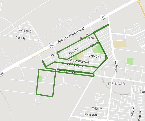
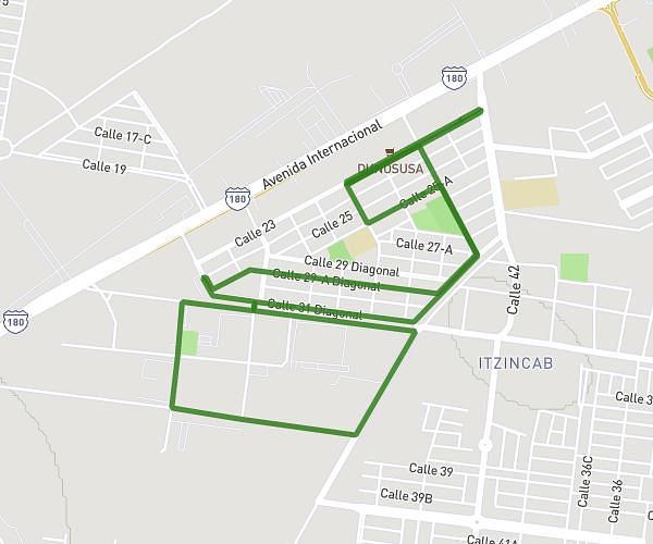
This running route covers 4.32mi starting from Umán, Yucatán. The run is a loop trail and returns to the trailhead. This run is rated as easy, expect about 45m to complete it. The route has an elevation gain of 121ft and an elevation loss of 121ft.

Description of the route by the creator

Start and finish at the same location. Start and finish in the same direction.

(Description automatically translated)

Route profile

121ft
Elevation gain
121ft
Elevation loss
30ft
Min altitude
46ft
Max altitude

How to get there

Trailhead: Calle 23 311, 97392 Umán, Yucatán, Mexico

GPS coordinates of the trailhead: 20.91958, -89.695888 / 20°55'10'' N, 89°41'45'' W

Caution: May Cross Private Property

This route may pass through or near private property. Always respect posted signs, obtain permission where required, and follow local trespassing laws. MapPlanner does not guarantee public access along any route.

Safety Notice

Trail and road conditions may change without notice due to weather, construction, or other factors. Always verify current conditions before heading out. You are responsible for your own safety — follow local signage, obey traffic laws, and use your best judgment on the trail.