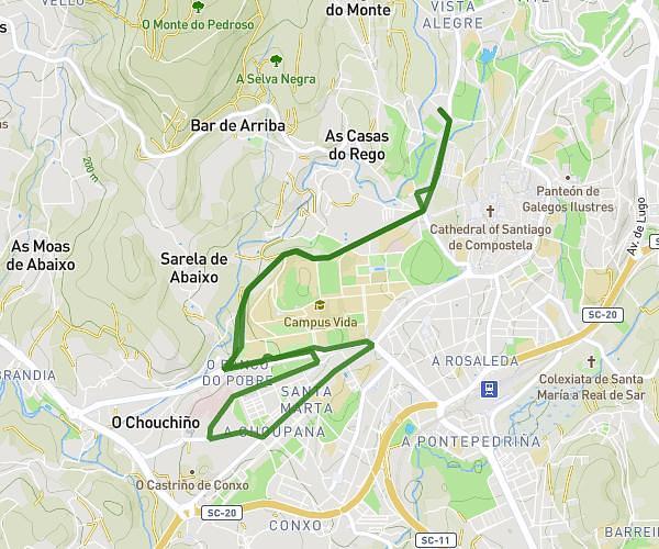
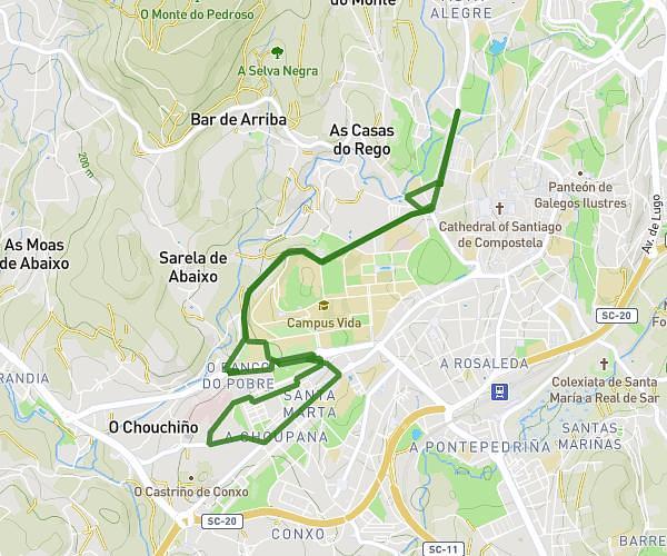
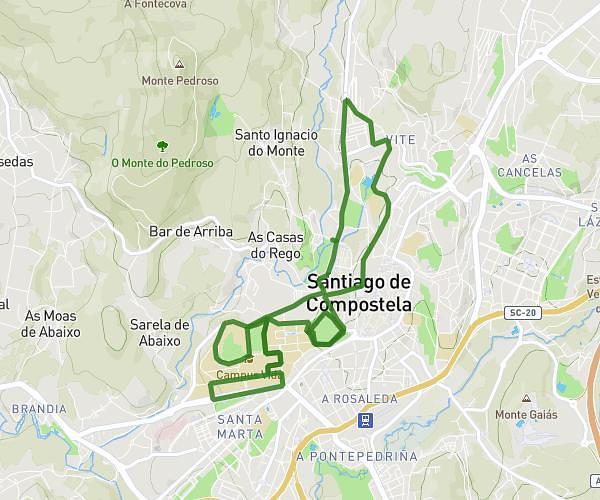
This running route covers 7.456mi starting from Santiago de Compostela, A Coruña. The run is a loop trail and returns to the trailhead. This run is rated as moderate, expect about 1h20m to complete it. The route has an elevation gain of 883ft and an elevation loss of 889ft.
Santa Isabel 1
Route details
5.59mph
Speed
915 kcal
Calories burned
Loop trail
Route type
643ft
Min altitude
876ft
Max altitude
Route profile
883ft
Elevation gain
889ft
Elevation loss
643ft
Min altitude
876ft
Max altitude
How to get there
Trailhead: Rúa De Tras Santa Isabel 1, 15705 Santiago de Compostela, A Coruña, Spain
GPS coordinates of the trailhead: 42.885651, -8.547689 / 42°53'8'' N, 8°32'51'' W