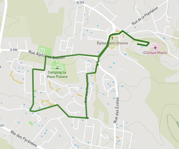
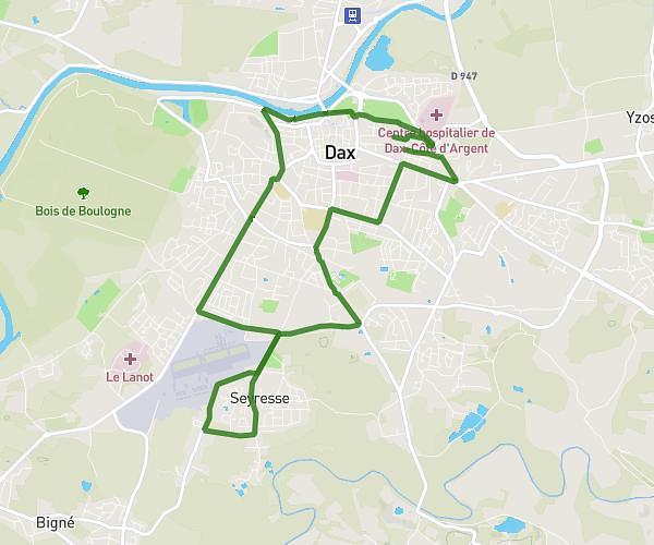
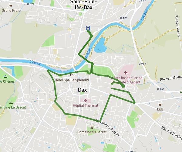
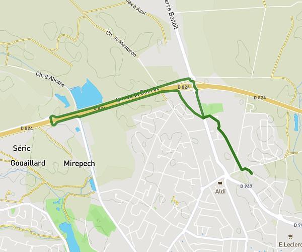
This running route covers 11.494mi starting from Montfort-en-Chalosse, Landes. The run does not return to the trailhead and ends near 119 Chemin De La Mariolle, 40380 Montfort-en-Chalosse, France. This run is rated as strenuous, expect about 2h3m to complete it. The route has an elevation gain of 1289ft and an elevation loss of 1332ft.
Laurent
Route details
5.59mph
Speed
1410 kcal
Calories burned
Point to point
Route type
85ft
Min altitude
361ft
Max altitude
Route profile
1289ft
Elevation gain
1332ft
Elevation loss
85ft
Min altitude
361ft
Max altitude
How to get there
Trailhead: 54 Chemin De La Mariolle, 40380 Montfort-en-Chalosse, France
GPS coordinates of the trailhead: 43.706977, -0.838832 / 43°42'25'' N, 0°50'19'' W