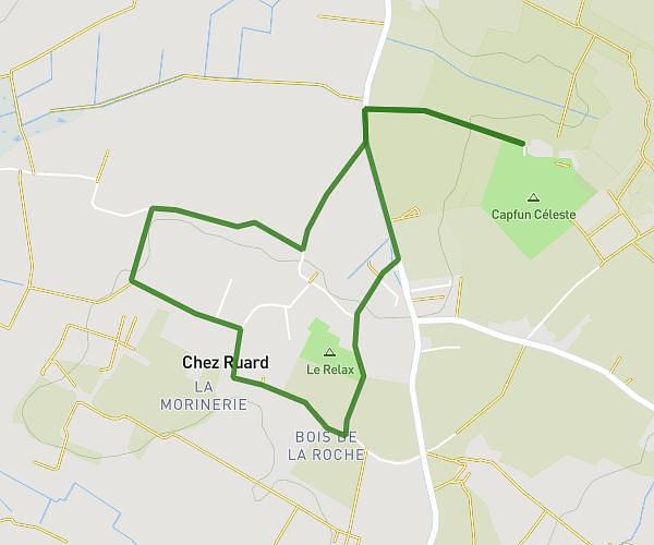
This running route covers 5.692mi starting from Rochefort, Charente-Maritime. The run is a loop trail and returns to the trailhead. This run is rated as moderate, expect about 1h59s to complete it. The route has an elevation gain of 13ft and an elevation loss of 13ft.
DHD
Route details
5.6mph
Speed
697 kcal
Calories burned
Loop trail
Route type
3ft
Min altitude
13ft
Max altitude
Route profile
13ft
Elevation gain
13ft
Elevation loss
3ft
Min altitude
13ft
Max altitude
How to get there
Trailhead: 29 Avenue Paule Maraux, 17300 Rochefort, France
GPS coordinates of the trailhead: 45.943499, -0.985434 / 45°56'36'' N, 0°59'7'' W